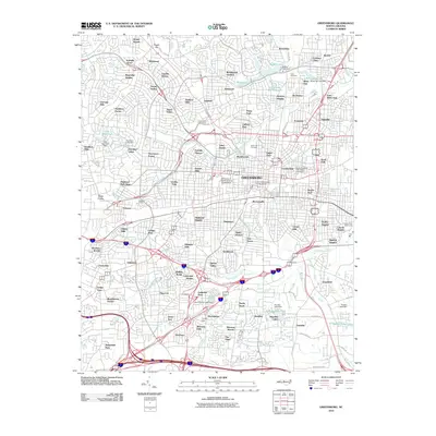
2010 Map of Greensboro
USGS Topo · Published 2010About this map
University of North Carolina Greensboro and North Carolina A&T State University anchor the central landscape of this urban study, which details the sprawling residential and industrial development that shaped the city by the early 21st century. The map reveals a complex network of neighborhoods including Piedmont Heights, Friendly Acres, and Starmount Forest, interspersed with legacy institutions like the Masonic Home. The industrial history of the region is evidenced by features like the Revolution Mill Reservoir, a remnant of the textile economy that once dominated the area around Revolution and McAdoo Heights.
Find a feature on this map
125 named features on this map. Tap any name to fly to it.
Don’t see what you’re looking for? This feature index may not catch every label — zoom into the map to look around manually.
Map Details
Editions of this 2010 Greensboro Map
This is the sole edition of this map. No revisions or reprints were ever made.
Other maps of this area

1950 · High Point East
USGS Topo · 1:24,000

1951 · High Point East
USGS Topo · 1:24,000

1951 · Guilford
USGS Topo · 1:24,000

1951 · Lake Brandt
USGS Topo · 1:24,000

1951 · Browns Summit
USGS Topo · 1:24,000

1951 · Greensboro
USGS Topo · 1:24,000

1952 · Mc Leansville
USGS Topo · 1:24,000

1953 · Raleigh
USGS Topo · 1:250,000

1953 · Greensboro
USGS Topo · 1:250,000

1954 · Greensboro
USGS Topo · 1:250,000