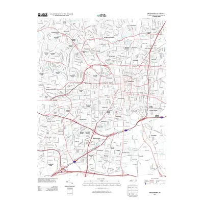
2013 Map of Greensboro
USGS Topo · Published 2013About this map
Friendly Acres and Westridge Heights characterize the suburban expansion across the northern reaches of this Guilford County landscape in the early 21st century. The map reveals a densely developed network of residential neighborhoods including Kirkwood, Irving Park, and O Henry Oaks, interwoven with significant water features like Philadelphia Lake and Buffalo Lake. The presence of the Masonic Home and institutions such as Greensboro Country Park Lake Five A reflect a mature urban environment where recreation and community infrastructure are well-established.
Find a feature on this map
94 named features on this map. Tap any name to fly to it.
Don’t see what you’re looking for? This feature index may not catch every label — zoom into the map to look around manually.
Map Details
Editions of this 2013 Greensboro Map
This is the sole edition of this map. No revisions or reprints were ever made.
Other maps of this area

1950 · High Point East
USGS Topo · 1:24,000

1951 · High Point East
USGS Topo · 1:24,000

1951 · Guilford
USGS Topo · 1:24,000

1951 · Lake Brandt
USGS Topo · 1:24,000

1951 · Browns Summit
USGS Topo · 1:24,000

1951 · Greensboro
USGS Topo · 1:24,000

1952 · Mc Leansville
USGS Topo · 1:24,000

1953 · Raleigh
USGS Topo · 1:250,000

1953 · Greensboro
USGS Topo · 1:250,000

1954 · Greensboro
USGS Topo · 1:250,000