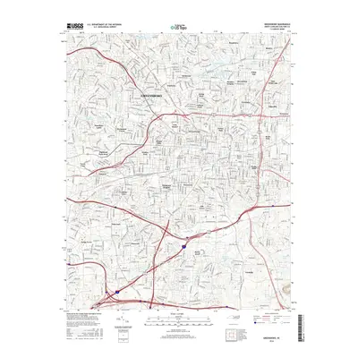
2016 Map of Greensboro
USGS Topo · Published 2016About this map
Revolution Mill and the industrial corridors of northeast Greensboro define the urban character of this mid-2010s survey. The map details a landscape deeply influenced by its manufacturing and textile heritage, showing the proximity of workers' neighborhoods like Revolution, White Oak, and Proximity to the water-dependent industrial sites along N Buffalo Cr. This era shows a fully matured city where historic neighborhoods like Fisher Park and Westerwood sit alongside institutional anchors such as N Carolina A & T State Univ and Greensboro Coll.
Find a feature on this map
67 named features on this map. Tap any name to fly to it.
Don’t see what you’re looking for? This feature index may not catch every label — zoom into the map to look around manually.
Map Details
Editions of this 2016 Greensboro Map
This is the sole edition of this map. No revisions or reprints were ever made.
Other maps of this area

1950 · High Point East
USGS Topo · 1:24,000

1951 · High Point East
USGS Topo · 1:24,000

1951 · Guilford
USGS Topo · 1:24,000

1951 · Lake Brandt
USGS Topo · 1:24,000

1951 · Browns Summit
USGS Topo · 1:24,000

1951 · Greensboro
USGS Topo · 1:24,000

1952 · Mc Leansville
USGS Topo · 1:24,000

1953 · Raleigh
USGS Topo · 1:250,000

1953 · Greensboro
USGS Topo · 1:250,000

1954 · Greensboro
USGS Topo · 1:250,000