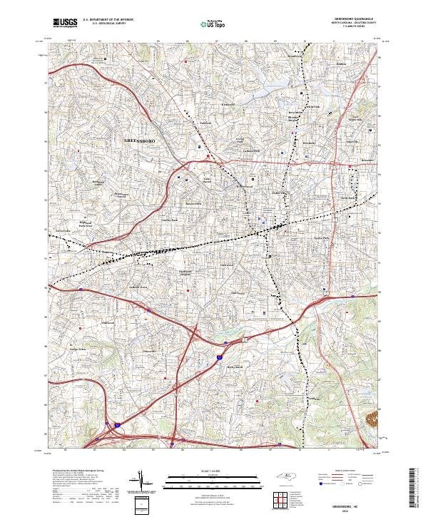
2022 Map of Greensboro
USGS Topo · Published 2022About this map
Greensboro serves as a dense hub of educational and industrial history, anchored by major institutions like the University of North Carolina at Greensboro and the North Carolina Agricultural and Technical State University. The city's growth is traced through its distinct neighborhoods, from the historic Fisher Park and Irving Park to industrial-era settlements like Proximity and East White Oak. These areas developed around the textile economy, evidenced by landmarks like the Proximity Mills Cem and the Revolution Mill Reservoir.
Find a feature on this map
76 named features on this map. Tap any name to fly to it.
Don’t see what you’re looking for? This feature index may not catch every label — zoom into the map to look around manually.
Map Details
Editions of this 2022 Greensboro Map
This is the sole edition of this map. No revisions or reprints were ever made.
Other maps of this area

1950 · High Point East
USGS Topo · 1:24,000

1951 · High Point East
USGS Topo · 1:24,000

1951 · Guilford
USGS Topo · 1:24,000

1951 · Lake Brandt
USGS Topo · 1:24,000

1951 · Browns Summit
USGS Topo · 1:24,000

1951 · Greensboro
USGS Topo · 1:24,000

1952 · Mc Leansville
USGS Topo · 1:24,000

1953 · Raleigh
USGS Topo · 1:250,000

1953 · Greensboro
USGS Topo · 1:250,000

1954 · Greensboro
USGS Topo · 1:250,000
Featured Places
- Greensboro, NC
- Sedgefield Park, NC
- O Henry Oaks, Greensboro
- British Woods, Greensboro
- Fairfield, Greensboro