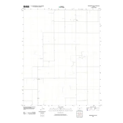
2009 Map of Greensburg NW
USGS Topo · Published 2009About this map
Rattlesnake Creek meanders through the central and eastern portions of this Kiowa County landscape, defining the local drainage and topography in an area dominated by rural section lines. The map reveals a sparsely settled agricultural and industrial region in the early 21st century, where energy extraction and local heritage intersect. To the south, the Fralick South Oil Field indicates the continued importance of mineral resources to the regional economy. Family history researchers will find the locations of Bethel Cemetery in the northeast and McKinley Cemetery in the southwest particularly useful for locating ancestral sites. The grid of local roads and 4WD tracks underscores the utilitarian nature of the land, connecting scattered farmsteads across the Kansas plains.
Find a feature on this map
4 named features on this map. Tap any name to fly to it.
Don’t see what you’re looking for? This feature index may not catch every label — zoom into the map to look around manually.
Map Details
Editions of this 2009 Greensburg NW Map
This is the sole edition of this map. No revisions or reprints were ever made.
Other maps of this area

1889 · Kinsley
USGS Topo · 1:125,000

1892 · Kinsley
USGS Topo · 1:125,000

1892 · Spearville
USGS Topo · 1:125,000

1894 · Spearville
USGS Topo · 1:125,000

1894 · Kinsley
USGS Topo · 1:125,000

1955 · Pratt
USGS Topo · 1:250,000

1959 · Pratt
USGS Topo · 1:250,000

1969 · Bucklin NE
USGS Topo · 1:24,000

1969 · Bucklin SE
USGS Topo · 1:24,000

1969 · Greensburg NW
USGS Topo · 1:24,000