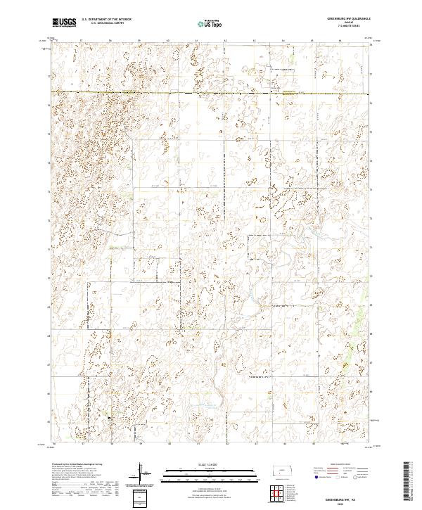
2022 Map of Greensburg NW
USGS Topo · Published 2022About this map
Rattlesnake Cr meanders through this agricultural landscape, carving a subtle path across the boundary of Edwards Co and Kiowa Co. The terrain is defined by a grid of rural routes, including 80th Ave and KC 13 Ave, which connect isolated homesteads and family farms. For those researching local lineages, the map preserves the locations of Bethel Cem in the north and McKinley Cem near the southern border. The lack of concentrated town sites emphasizes the dispersed settlement pattern of the Kansas plains, where land use is dictated by township and range lines like t27s r19w. Small depressions and wetlands scattered throughout the sections indicate the prairie's natural drainage before intensive land management.
Find a feature on this map
31 named features on this map. Tap any name to fly to it.
Don’t see what you’re looking for? This feature index may not catch every label — zoom into the map to look around manually.
Map Details
Editions of this 2022 Greensburg NW Map
This is the sole edition of this map. No revisions or reprints were ever made.
Other maps of this area

1889 · Kinsley
USGS Topo · 1:125,000

1892 · Kinsley
USGS Topo · 1:125,000

1892 · Spearville
USGS Topo · 1:125,000

1894 · Spearville
USGS Topo · 1:125,000

1894 · Kinsley
USGS Topo · 1:125,000

1955 · Pratt
USGS Topo · 1:250,000

1959 · Pratt
USGS Topo · 1:250,000

1969 · Bucklin NE
USGS Topo · 1:24,000

1969 · Bucklin SE
USGS Topo · 1:24,000

1969 · Greensburg NW
USGS Topo · 1:24,000