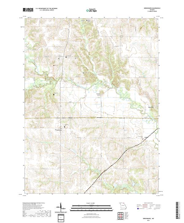
2021 Map of Greensburg
USGS Topo · Published 2021About this map
The Middle Fabius River and its numerous tributaries, including Bridge Cr and Tobin Cr, define the drainage patterns across this section of Scotland and Knox Counties. The landscape is dotted with several small, historically significant settlements such as Greensburg, Fabius, and Sand Hill, reflecting the rural agricultural development of the region. A dense concentration of family and community burial grounds, including the Edinburg Baptist Church Cem, Fort Donaldson Cem, and Frogge Cem, provides a detailed record for genealogical research.
Find a feature on this map
54 named features on this map. Tap any name to fly to it.
Don’t see what you’re looking for? This feature index may not catch every label — zoom into the map to look around manually.
Map Details
Editions of this 2021 Greensburg Map
This is the sole edition of this map. No revisions or reprints were ever made.
Historical Maps of Fabius Through Time
10 maps found
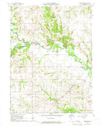
1965 Greensburg
Scotland County, MO
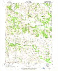
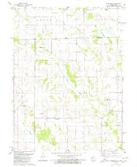
1966 Bible Grove
Scotland County, MO
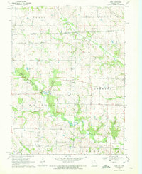
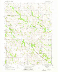
1970 Azen
Scotland County, MO
1970 Brock
Scotland County, MO
1980 Kilwinning
Scotland County, MO
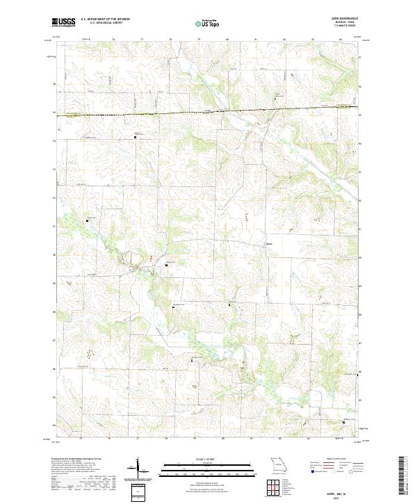
2021 Azen
Scotland County, MO
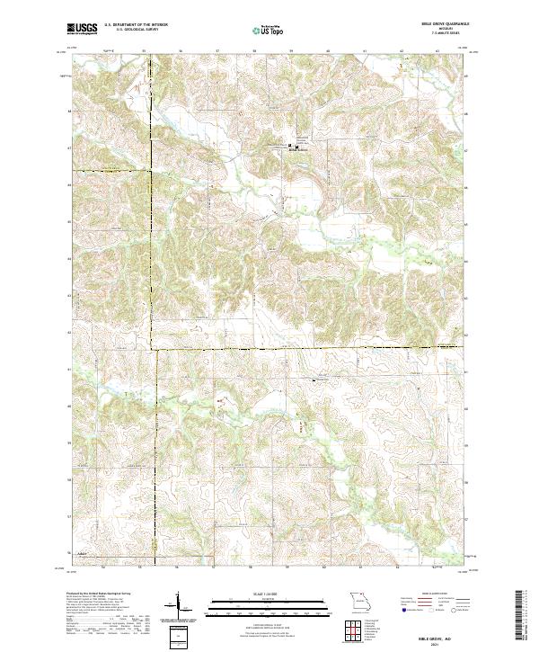
2021 Bible Grove
Scotland County, MO
2021 Brock
Scotland County, MO
2021 Greensburg
Scotland County, MO
2021 Kilwinning
Scotland County, MO