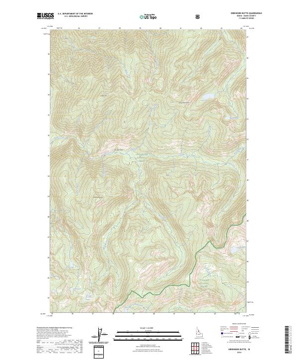
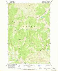
2024 Map of Greenside Butte
USGS Topo · Published 2024About this map
Greenside Butte stands as a prominent landmark in this high-elevation region of Idaho County, situated within the vast protected reaches of the Selway-Bitterroot Wilderness. The landscape is defined by an intricate network of alpine water systems, where Seven Lakes and Long Lake occupy glacial basins near the northern boundary. The terrain is marked by significant topographical shifts, ranging from the heights of Gold Hill down to the drainage of Boulder Creek and its many tributaries. This 2024 survey illustrates the overlapping administrative boundaries of the Clearwater National Forest and the Nez-Perce National Forest. A corridor for backcountry travel is traced through Boulder Pass, connecting the drainages of Pell Creek and Traveling Creek. This map is essential for understanding the modern hydrography of the interior wilderness, detailing numerous remote water bodies like Rock Lake and Shasta Lake that remain central to the region's geography.
Find a feature on this map
35 named features on this map. Tap any name to fly to it.
Don’t see what you’re looking for? This feature index may not catch every label — zoom into the map to look around manually.
Map Details
Editions of this 2024 Greenside Butte Map
This is the sole edition of this map. No revisions or reprints were ever made.
Other maps of this area

1911 · Lolo
USGS Topo · 1:250,000

1913 · Lolo
USGS Topo · 1:250,000

1956 · Hamilton
USGS Topo · 1:250,000

1959 · Hamilton
USGS Topo · 1:250,000

1960 · Hamilton
USGS Topo · 1:250,000

1964 · Hamilton
USGS Topo · 1:250,000
1966 · Big Rock Mtn
USGS Topo · 1:24,000
1966 · Chimney Peak
USGS Topo · 1:24,000
1966 · Fenn Mountain
USGS Topo · 1:24,000
1966 · Greenside Butte
USGS Topo · 1:24,000