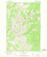
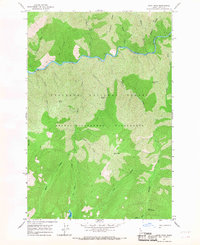
1966 Map of Fenn Mountain
USGS Topo · Published 1968About this map
The Crags dominate this high-elevation wilderness landscape, where several national forest boundaries converge. Surveyed in the mid-1960s, the terrain is defined by a dense concentration of alpine water bodies, including the Lizard Lakes, Florence Lake, and Hjort Lake. The map reveals an intricate network of primitive transportation routes, such as the Pack Trail and Canteen Trail, which provided the only access through the Selway-Bitterroot Wilderness and adjacent forests.
Find a feature on this map
44 named features on this map. Tap any name to fly to it.
Don’t see what you’re looking for? This feature index may not catch every label — zoom into the map to look around manually.
Map Details
Editions of this 1966 Fenn Mountain Map
2 editions found
Other maps of this area

1911 · Lolo
USGS Topo · 1:250,000

1913 · Lolo
USGS Topo · 1:250,000

1956 · Hamilton
USGS Topo · 1:250,000

1959 · Hamilton
USGS Topo · 1:250,000

1960 · Hamilton
USGS Topo · 1:250,000

1964 · Hamilton
USGS Topo · 1:250,000

1966 · Selway Falls
USGS Topo · 1:24,000
1966 · Fog Mountain
USGS Topo · 1:24,000
1966 · Big Rock Mtn
USGS Topo · 1:24,000
1966 · Mink Peak
USGS Topo · 1:24,000