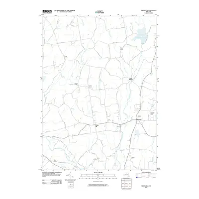
2010 Map of Greenville
USGS Topo · Published 2010About this map
Greenville and the surrounding hamlets of Greene County are captured here in a landscape defined by traditional agrarian patterns and small-town settlement. The terrain is marked by significant waterways, including Catskill Creek and Eightmile Creek, while the Basic Creek Reservoir dominates the northeastern corner. This area maintains a strong connection to its 19th-century roots, evidenced by numerous family and community burial grounds such as Campbell Cemetery, Locust Cemetery, and the Westerlo Central Cemetery near South Westerlo.
Find a feature on this map
74 named features on this map. Tap any name to fly to it.
Don’t see what you’re looking for? This feature index may not catch every label — zoom into the map to look around manually.
Map Details
Editions of this 2010 Greenville Map
This is the sole edition of this map. No revisions or reprints were ever made.
Other maps of this area

1893 · Coxsackie
USGS Topo · 1:62,500

1893 · Durham
USGS Topo · 1:62,500

1893 · Albany
USGS Topo · 1:62,500

1894 · Coxsackie
USGS Topo · 1:62,500

1894 · Durham
USGS Topo · 1:62,500

1895 · Albany
USGS Topo · 1:62,500

1898 · Albany
USGS Topo · 1:62,500

1900 · Berne
USGS Topo · 1:62,500

1903 · Berne
USGS Topo · 1:62,500

1927 · Albany
USGS Topo · 1:62,500