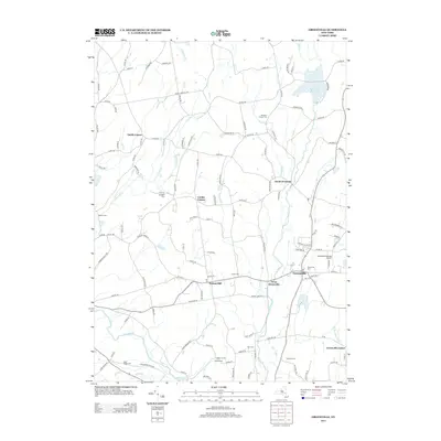
2013 Map of Greenville
USGS Topo · Published 2013About this map
Greenville serves as a primary hub of settlement in this landscape of rural hamlets and family farmsteads in the early 21st century. The map details a network of historic crossroads and corner settlements, such as Lambs Corner, Norton Hill, and Smith Corner, which anchor the surrounding agricultural and residential lands. Notable landmarks like the Greenville-rainbow Airport and the expansive Basic Creek Reservoir in the northeast define the modern character of the area.
Find a feature on this map
117 named features on this map. Tap any name to fly to it.
Don’t see what you’re looking for? This feature index may not catch every label — zoom into the map to look around manually.
Map Details
Editions of this 2013 Greenville Map
This is the sole edition of this map. No revisions or reprints were ever made.
Other maps of this area

1893 · Coxsackie
USGS Topo · 1:62,500

1893 · Durham
USGS Topo · 1:62,500

1893 · Albany
USGS Topo · 1:62,500

1894 · Coxsackie
USGS Topo · 1:62,500

1894 · Durham
USGS Topo · 1:62,500

1895 · Albany
USGS Topo · 1:62,500

1898 · Albany
USGS Topo · 1:62,500

1900 · Berne
USGS Topo · 1:62,500

1903 · Berne
USGS Topo · 1:62,500

1927 · Albany
USGS Topo · 1:62,500