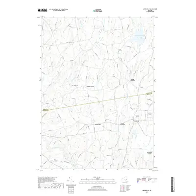
2019 Map of Greenville
USGS Topo · Published 2019About this map
Greenville and its surrounding hamlets occupy a landscape shaped by the drainage of the Basic Creek and Catskill Creek systems. The northern portion of the map is dominated by the Basic Creek Reservoir, a significant water feature that informs the local topography near South Westerlo. This area maintains a strong connection to its 19th-century roots through a dense concentration of burial grounds, including the Westerlo Central Cem, Locust Cem, and the Greenville Rural Cem.
Find a feature on this map
104 named features on this map. Tap any name to fly to it.
Don’t see what you’re looking for? This feature index may not catch every label — zoom into the map to look around manually.
Map Details
Editions of this 2019 Greenville Map
This is the sole edition of this map. No revisions or reprints were ever made.
Other maps of this area

1893 · Coxsackie
USGS Topo · 1:62,500

1893 · Durham
USGS Topo · 1:62,500

1893 · Albany
USGS Topo · 1:62,500

1894 · Coxsackie
USGS Topo · 1:62,500

1894 · Durham
USGS Topo · 1:62,500

1895 · Albany
USGS Topo · 1:62,500

1898 · Albany
USGS Topo · 1:62,500

1900 · Berne
USGS Topo · 1:62,500

1903 · Berne
USGS Topo · 1:62,500

1927 · Albany
USGS Topo · 1:62,500