
2023 Map of Greenville
USGS Topo · Published 2023About this map
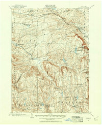
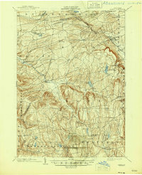
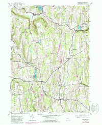
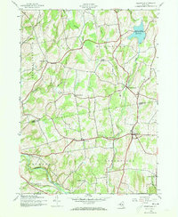
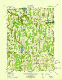
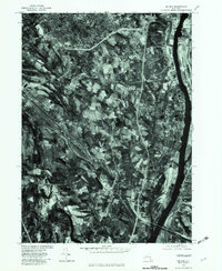
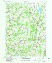
Albany County and Greene County meet across the center of this landscape, marking a geographic transition between the plateaus of the north and the upper Catskill Creek valley. Several small hamlets and crossroads communities anchor the region, including Greenville, Norton Hill, and South Westerlo. This 2023 edition highlights a significant network of burial grounds that trace the area's genealogical history, from the Greenville Rural Cemetery to smaller family-named sites like O'Hara Cemetery and Craw Cemetery. The northern portion is dominated by the waters of the Basic Creek Reservoir, while the Greenville-Rainbow Airport serves as a modern local landmark. The terrain is deeply etched by numerous waterways such as Eightmile Creek, Wolf Fly Creek, and Thorp Creek, which historically dictated the placement of early settlements and roads like the Old Plank Road.
Find a feature on this map
107 named features on this map. Tap any name to fly to it.
Don’t see what you’re looking for? This feature index may not catch every label — zoom into the map to look around manually.
Map Details
Editions of this 2023 Greenville Map
This is the sole edition of this map. No revisions or reprints were ever made.
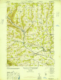
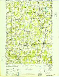
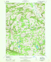
Historical Maps of Norton Hill Through Time
20 maps found
1900 Berne
Albany County, NY
1903 Berne
Albany County, NY
1943 Westerlo
Albany County, NY
1945 Durham
Albany County, NY
1945 Greenville
Albany County, NY
1946 Durham
Albany County, NY
1946 Greenville
Albany County, NY
1946 Rensselaerville
Albany County, NY
1946 Westerlo
Albany County, NY
1953 Clarksville
Albany County, NY
1953 Delmar
Albany County, NY
1967 Durham
Albany County, NY
1978 Delmar
Albany County, NY
1980 Greenville
Albany County, NY

2023 Clarksville
Albany County, NY

2023 Delmar
Albany County, NY

2023 Durham
Albany County, NY
2023 Greenville
Albany County, NY

2023 Rensselaerville
Albany County, NY

2023 Westerlo
Albany County, NY