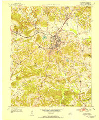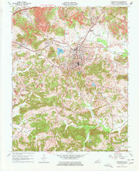
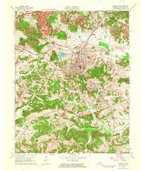
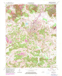
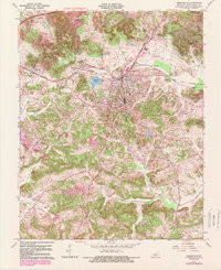
1963 Map of Greenville
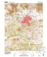
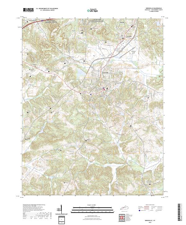
USGS Topo · Published 1977About this map
Greenville sits at the heart of this mid-century Muhlenberg County landscape, where the town's growth is framed by a sprawling network of coal and rail infrastructure. North and west of the city, the land is heavily marked by the Strip Mine operations and industrial features like the Sewage Disposal plant and County Airport. The Illinois Central railroad serves as a vital corridor, connecting the settlements of Powderly, Luzerne, and Depoy. To the south, the terrain becomes more rural and defined by water, with Pond Creek and Drake Creek winding through valleys dotted with family-named landmarks like Williams Cem and Jernigan Cem. The map reveals a community balanced between its agricultural roots at the Agricultural Experimental Sta and the industrial demands of the era's energy production, seen in the numerous Oil Wells and a prominent Gas Well scattered across the quadrangle.
Find a feature on this map
44 named features on this map. Tap any name to fly to it.
Don’t see what you’re looking for? This feature index may not catch every label — zoom into the map to look around manually.
Map Details
Editions of this 1963 Greenville Map
4 editions found
Historical Maps of Greenville Through Time
8 maps found