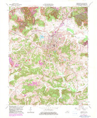
1963 Map of Greenville
USGS Topo · Published 1983About this map
Greenville serves as the central hub of this Muhlenberg County landscape, where the local economy and geography are defined by the Illinois Central railroad and extensive Strip Mines to the north. The 1963 survey, updated with 1980s data, reveals a dense network of rural infrastructure including the Agricultural Experimental Sta and Central High Sch. The region is marked by its small communities like Powderly, Luzerne, and Depoy, which are connected by the Western Kentucky Parkway. Numerous country churches and family burial grounds, such as Oak Grove Ch and the Old Liberty Cem, are scattered throughout the hills. Waterways like Cypress Creek and Pond Creek snake through the terrain, while landmarks like Buck Knob and the County Airport provide distinct navigational points for the area.
Find a feature on this map
37 named features on this map. Tap any name to fly to it.
Don’t see what you’re looking for? This feature index may not catch every label — zoom into the map to look around manually.
Map Details
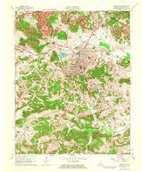
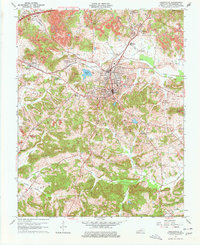
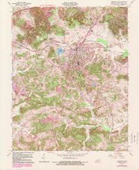
Editions of this 1963 Greenville Map
4 editions found
Other maps of this area

1909 · Madisonville
USGS Topo · 1:62,500

1909 · Central City
USGS Topo · 1:62,500

1911 · Drakesboro
USGS Topo · 1:48,000

1912 · Nortonville
USGS Topo · 1:62,500

1913 · Drakesboro
USGS Topo · 1:62,500

1952 · Greenville
USGS Topo · 1:24,000

1953 · Drakesboro
USGS Topo · 1:24,000

1953 · Haleys Mill
USGS Topo · 1:24,000

1953 · Rosewood
USGS Topo · 1:24,000

1953 · Central City West
USGS Topo · 1:24,000