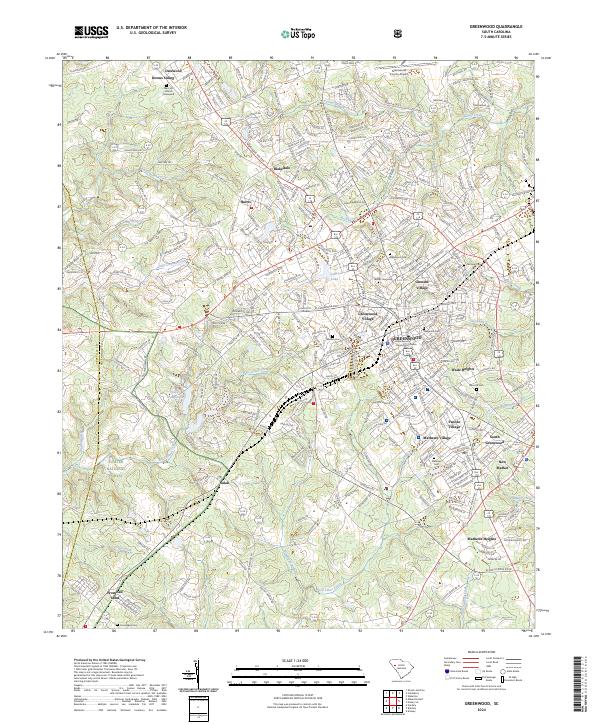
2024 Map of Greenwood
USGS Topo · Published 2024About this map
Lander University and the Greenwood County Courthouse anchor the central district of Greenwood, showing the dense civic and academic core of this South Carolina hub. The map reveals a complex arrangement of residential neighborhoods and industrial extensions, including Grendel Village, Wade Heights, and Mathews Village. These settlements reflect the region's mid-century growth patterns, where textile-related housing and suburban expansion began to border the rural edges of the Sumter National Forest to the west.
Find a feature on this map
321 named features on this map. Tap any name to fly to it.
Don’t see what you’re looking for? This feature index may not catch every label — zoom into the map to look around manually.
Map Details
Editions of this 2024 Greenwood Map
This is the sole edition of this map. No revisions or reprints were ever made.
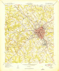
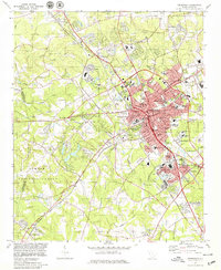
Historical Maps of Avondale Through Time
3 maps found