Old Maps of Greenwood, South Carolina
Explore 30 old maps of Greenwood, spanning from 1892 to today. These high-resolution historic maps reveal how streets, neighborhoods, landmarks, and natural features evolved over time — perfect for genealogy, metal detecting, research, and local history exploration.
What you can do with these maps:
- See how Greenwood changed over time: Compare historical maps to modern-day views to trace roads, homesites, rail lines & more.
- View detailed metadata: Each map includes creators, publishers, year, scale, and archive source.
- Overlay maps with satellite & LiDAR: Visualize the past alongside modern tools to explore terrain & human change.
- Trusted historical sources: Maps sourced from the USGS, Library of Congress, and other archives.
- Access maps your way: View online, download high-res files, or order prints for personal or research use.
Start exploring old maps of Greenwood to uncover forgotten places, hidden landmarks, and the deep history beneath your feet.
Greenwood, SC maps
(30)- 1892 Map of Abbeville
 1892 Abbeville1892 Print · USGSSouth Carolina’s Upstate during the late 1800s reveals a landscape defined by critical river crossings and the arrival of the steam era. Genealogists can trace family roots through localized sites like Smith Ferry, Maddox Mill, and the bustling rail hub of Greenwood.6 unique versions available
 - 1949 Map of Ninety-Six
 1949 Ninety-Six1949 Print · USGSThe crossroads town of Ninety-Six is shown at the peak of its rail-era influence in the late 1940s. Genealogists and historians can trace family locations near Youngs Chapel School, Lebanon Church, and the Site of Old Star Fort.2 unique versions available
 - 1949 Map of Greenwood
 1949 Greenwood1949 Print · USGSGreenwood flourished as a major rail and textile crossroads in the late forties, its landscape defined by industrial villages and extensive trackage. Genealogists and historians can trace neighborhood roots through Lander College, the Connie Maxwell Childrens Home, and several mill villages.2 unique versions available
 - 1954 Map of Greenville, 1965 Print
 1954 Greenville1965 Print · USGSThe Upstate and Northeast Georgia are captured here during a decade of massive transformation as new reservoirs reshaped the Piedmont. Genealogists and hikers can trace the Appalachian Trail over Brasstown Bald or locate old community centers like Demorest, Westminster, and Royston.3 unique versions available
 - 1958 Map of Greenville
 1958 Greenville1958 Print · USGSThe Piedmont and Blue Ridge foothills come alive in this mid-century survey of the Upstate and Northeast Georgia. Trace the regional rail-and-river economy through the Southern Railway corridors and early reservoir developments like Lake Sidney Lanier.
 - 1971 Map of Cokesbury, 1974 Print
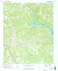 1971 Cokesbury1974 Print · USGSThe rural Upstate of the early 1970s is centered here around Cokesbury and its historic Old Cokesbury College campus. Researchers can trace family roots at Old Tabernacle Cem or locate community landmarks like North Hodges Sch and the Hodges Lookout Tower.2 unique versions available
 - 1971 Map of Waterloo, 1975 Print
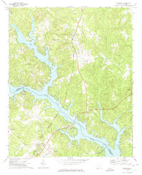 1971 Waterloo1975 Print · USGSThe Laurens and Greenwood County borderlands are defined by the rising waters of Lake Greenwood in the early seventies. Researchers can trace rural church history and rail transport through Waterloo, Cross Hill, and the Seaboard Coast Line corridor.
 - 1978 Map of Greenwood, 1979 Print
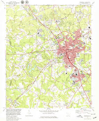 1978 Greenwood1979 Print · USGSGreenwood at the end of the 1970s shows a thriving regional hub where the SOUTHERN railroad meets a growing network of industrial and residential villages. Researchers can trace family sites at Promised Land, Lander College, and the Maxwell Childrens Home.
 - 1978 Map of Ninety-Six, 1979 Print
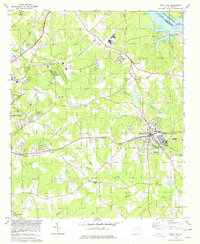 1978 Ninety-Six1979 Print · USGSThe town of Ninety Six and the surrounding backcountry are captured in the late 1970s, showing a landscape defined by rail and river. Genealogists can trace family landmarks and sites like the Old Star Fort (Site), Irvines Landing, and Siloam Ch.
 - 1979 Map of Abbeville, 1980 Print
 1979 Abbeville1980 Print · USGSThe South Carolina and Georgia borderlands are captured here during a period of significant hydroelectric development and regional growth. Researchers can trace the rail-and-river economy through the Seaboard Coast Line and landmarks like Hartwell Dam or the Silk Mills.2 unique versions available
 - 2011 Map of Waterloo, 2011 Print
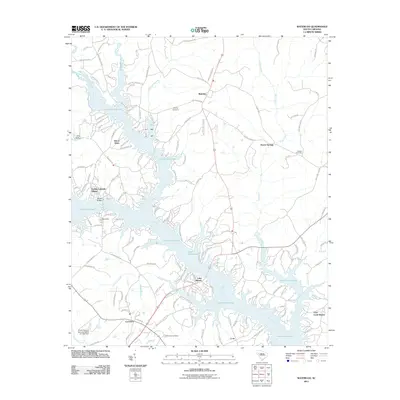 2011 Waterloo2011 Print · USGSWaterloo and the upper reaches of Lake Greenwood are captured here in the early twenty-first century as lakeside living expanded. Researchers can find long-established burial grounds like Bethlehem Cemetery and traces of older local industry at Boyds Mill.
 - 2011 Map of Greenwood, 2011 Print
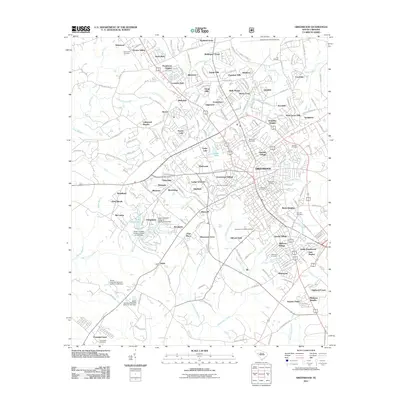 2011 Greenwood2011 Print · USGSGreenwood and its surrounding South Carolina suburbs are shown here in the early twenty-first century, displaying a landscape defined by residential growth and aviation. Researchers can trace local genealogy and land use through Morris Hill Cemetery, Grendel Village, and the rail-side industrial history of Downs Siding.
 - 2011 Map of Cokesbury, 2011 Print
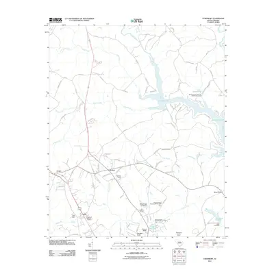 2011 Cokesbury2011 Print · USGSGreenwood County at the start of the 2010s shows a landscape where early Upcountry settlements meet the sprawling reaches of Lake Greenwood. Researchers can trace local lineage through the Old Tabernacle Cemetery or locate landmarks like the Hodges Lookout Tower and Stony Point.
 - 2011 Map of Ninety Six, 2011 Print
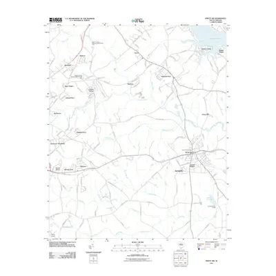 2011 Ninety Six2011 Print · USGSThe town of Ninety Six and its surrounding countryside are captured here in the early twenty-first century, showing a mix of modern growth and deep heritage. Researchers can trace the layout of the Old Star Fort and find established areas like Saluca and Cherry Hill.
 - 2014 Map of Cokesbury, 2014 Print
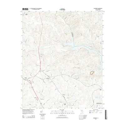 2014 Cokesbury2014 Print · USGSThe Upcountry of South Carolina is shown here in the early twenty-first century, centered on the historic crossroads of Cokesbury and Hodges. Researchers can trace local lineage through several sites, including the Old Tabernacle Cem and the waters of Buzzard Roost.
 - 2014 Map of Ninety Six, 2014 Print
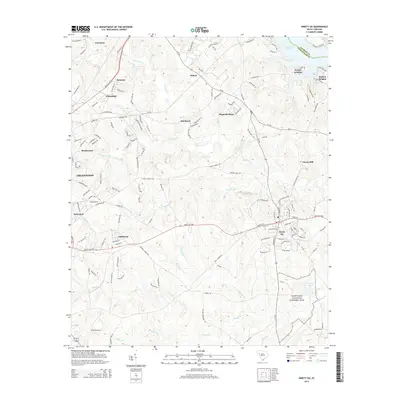 2014 Ninety Six2014 Print · USGSGreenwood County at the start of the 2010s reveals a landscape where Revolutionary War history meets modern growth. Researchers can trace the grounds of the Ninety Six National Historic Site and locate neighborhood developments like Fairforest and Saluca.
 - 2014 Map of Waterloo, 2014 Print
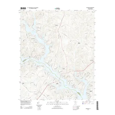 2014 Waterloo2014 Print · USGSThe Laurens and Greenwood County border comes into focus in this recent survey, showcasing the extensive fingers of Buzzard Roost lake. Researchers can trace the layout of Waterloo and Coronaca or find local heritage sites like Smyrna Cem and Franklin Cem.
 - 2014 Map of Greenwood, 2014 Print
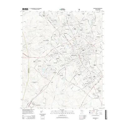 2014 Greenwood2014 Print · USGSGreenwood and its surrounding South Carolina uplands are shown in fine detail during the mid-2010s, balancing urban growth with the preservation of the Sumter National Forest. Genealogists can locate family sites near Magnolia Cem, Promised Land Ch, and the historic rail stop at Downs Siding.
 - 2017 Map of Ninety Six, 2017 Print
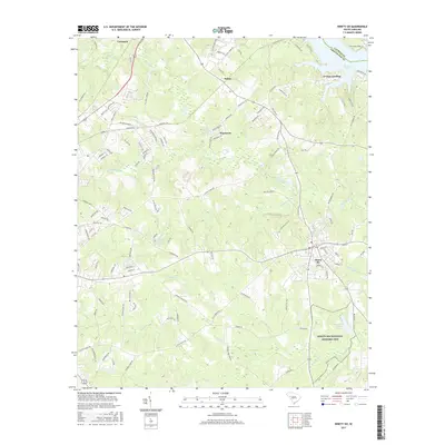 2017 Ninety Six2017 Print · USGSGreenwood County’s Revolutionary War heritage and modern growth intersect in this late-2010s survey. Researchers can trace the grounds of the Ninety Six National Historic Site, the waters of Star Fort Pond, and the residential blocks of Ninety Six.
 - 2017 Map of Cokesbury, 2017 Print
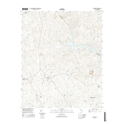 2017 Cokesbury2017 Print · USGSThe crossroads of Cokesbury and the upper reaches of Lake Greenwood are captured here in the late twenty-tens. Researchers can trace local heritage at Allen University, Andrews Cemeteries, and the historic settlement of Stony Point.
 - 2017 Map of Waterloo, 2017 Print
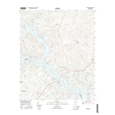 2017 Waterloo2017 Print · USGSUpper Greenwood County and Laurens County come together at the Reedy River in the mid-2010s, revealing a landscape of lakeside inlets and rural crossroads. Local historians and genealogists can pinpoint family burial sites at Bethlehem Cem and Smyrna Cem or trace the early settlement footprints of Waterloo and Coronaca.
 - 2017 Map of Greenwood, 2017 Print
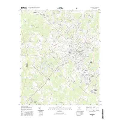 2017 Greenwood2017 Print · USGSThe industrial and residential growth of Greenwood is captured here in the early twenty-first century. Researchers can trace family ties through several outlying communities and burial grounds, including Promised Land, Grendel Village, and Magnolia Cem.
 - 2020 Map of Ninety Six, 2020 Print
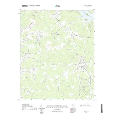 2020 Ninety Six2020 Print · USGSThe South Carolina Piedmont comes into focus in the early twenty-first century, centered on the revolutionary grounds of the Ninety Six National Historic Site. Researchers can trace local development from Greenwood to Saluca, alongside family-named landmarks like Irvines Landing.
 - 2020 Map of Greenwood, 2020 Print
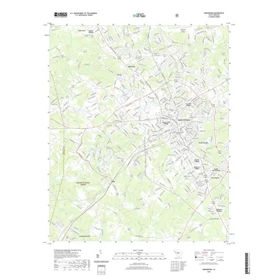 2020 Greenwood2020 Print · USGSGreenwood at the turn of the decade reflects a blend of educational prominence and deep-rooted residential villages. Trace local history through the city's unique neighborhoods like Panola Village or visit the campus of Lander University.
 - 2020 Map of Cokesbury, 2020 Print
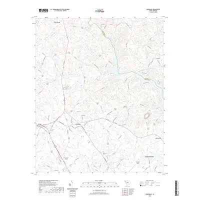 2020 Cokesbury2020 Print · USGSThe rural Piedmont of South Carolina is detailed here in the early twenty-first century, centered on the crossroads of Cokesbury. Researchers can trace local heritage through landmarks like Allen University, Old Tabernacle Cem, and the waters of Lake Greenwood.
Showing maps 1-25 of 30
Top cities near Greenwood
- Abbeville historical maps
- Honea Path historical maps
- Ninety Six historical maps
- Due West historical maps
- Cross Hill historical maps
- Donalds historical maps
See more
Top neighborhoods of Greenwood
- Smithfield historical maps
- South Greenwood historical maps
- Stalnaker Heights historical maps
- Wisewood historical maps
- Blakedale historical maps
- Glendale historical maps
See more
Frequently asked questions
- What are the different types of historical maps available for Greenwood?
- What is the oldest map of Greenwood?
- Where can I purchase historical maps of Greenwood for my home or office?
- Where can I download high-res historical maps of Greenwood?
- Are there historical topographic maps available for Greenwood?
- Is there historical aerial imagery available for Greenwood?
- Where are historical maps of Greenwood sourced from?