2000s (21st Century) Maps of Greenwood, South Carolina
Explore 20 historic maps of Greenwood from the 2000s (21st Century). These maps offer a rare glimpse into what life looked like during the 2000s — showing old roads, neighborhoods, homes, and landmarks that have changed or disappeared over time.
Whether you're researching your family's past, planning a metal detecting trip, or studying how Greenwood's landscape evolved across the 2000s, these high-resolution maps are a powerful tool for exploring the history of this region.
- Focus on a specific era: All maps on this page are from the 2000s, giving you a focused view of this time period.
- See what’s changed: Compare century-old streets, trails, and buildings to today's modern landscape using overlays and satellite layers.
- Research with precision: Use these maps for genealogy, historical research, land use analysis, or educational projects.
- View, download, or print: Maps are fully viewable online in high resolution, and can be downloaded or printed for your own records.
Start exploring Greenwood's history through authentic maps from the 2000s. This is your window into the past.
Greenwood, SC maps
(20)- 2011 Map of Waterloo, 2011 Print
 2011 Waterloo2011 Print · USGSCovers Greenwood, including Cross Hill, Waterloo, and other nearby areas
 - 2011 Map of Greenwood, 2011 Print
 2011 Greenwood2011 Print · USGSCovers Greenwood, including Harris, Augusta Fields, and other nearby areas
 - 2011 Map of Cokesbury, 2011 Print
 2011 Cokesbury2011 Print · USGSCovers Greenwood, including Hodges, Cokesbury, and other nearby areas
 - 2011 Map of Ninety Six, 2011 Print
 2011 Ninety Six2011 Print · USGSCovers Greenwood, including Ninety Six, Wheatfield, and other nearby areas
 - 2014 Map of Cokesbury, 2014 Print
 2014 Cokesbury2014 Print · USGSCovers Greenwood, including Hodges, Cokesbury, and other nearby areas
 - 2014 Map of Ninety Six, 2014 Print
 2014 Ninety Six2014 Print · USGSCovers Greenwood, including Ninety Six, Wheatfield, and other nearby areas
 - 2014 Map of Waterloo, 2014 Print
 2014 Waterloo2014 Print · USGSCovers Greenwood, including Cross Hill, Waterloo, and other nearby areas
 - 2014 Map of Greenwood, 2014 Print
 2014 Greenwood2014 Print · USGSCovers Greenwood, including Harris, Augusta Fields, and other nearby areas
 - 2017 Map of Ninety Six, 2017 Print
 2017 Ninety Six2017 Print · USGSCovers Greenwood, including Ninety Six, Wheatfield, and other nearby areas
 - 2017 Map of Cokesbury, 2017 Print
 2017 Cokesbury2017 Print · USGSCovers Greenwood, including Hodges, Cokesbury, and other nearby areas
 - 2017 Map of Waterloo, 2017 Print
 2017 Waterloo2017 Print · USGSCovers Greenwood, including Cross Hill, Waterloo, and other nearby areas
 - 2017 Map of Greenwood, 2017 Print
 2017 Greenwood2017 Print · USGSCovers Greenwood, including Harris, Augusta Fields, and other nearby areas
 - 2020 Map of Ninety Six, 2020 Print
 2020 Ninety Six2020 Print · USGSCovers Greenwood, including Ninety Six, Wheatfield, and other nearby areas
 - 2020 Map of Greenwood, 2020 Print
 2020 Greenwood2020 Print · USGSCovers Greenwood, including Harris, Augusta Fields, and other nearby areas
 - 2020 Map of Cokesbury, 2020 Print
 2020 Cokesbury2020 Print · USGSCovers Greenwood, including Hodges, Cokesbury, and other nearby areas
 - 2020 Map of Waterloo, 2020 Print
 2020 Waterloo2020 Print · USGSCovers Greenwood, including Cross Hill, Waterloo, and other nearby areas
 - 2024 Map of Greenwood, 2024 Print
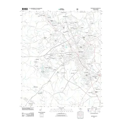
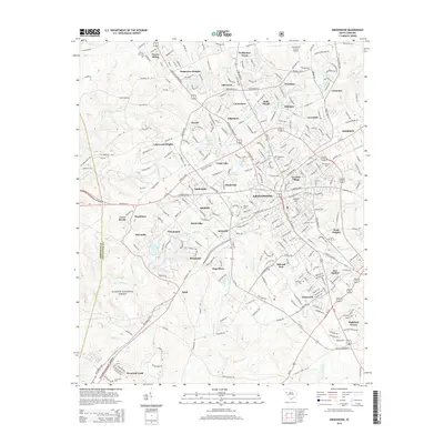
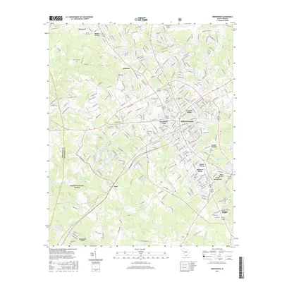
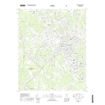
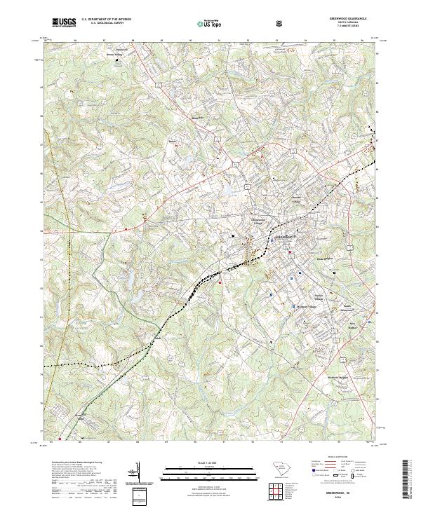 2024 Greenwood2024 Print · USGSGreenwood and its surrounding mill villages are captured here in the contemporary era, revealing the deep roots of this Piedmont hub. Researchers can locate family landmarks like Mars Hill Church, Magnolia Cem, and the historic settlement of Promised Land.
 - 2024 Map of Waterloo, 2024 Print
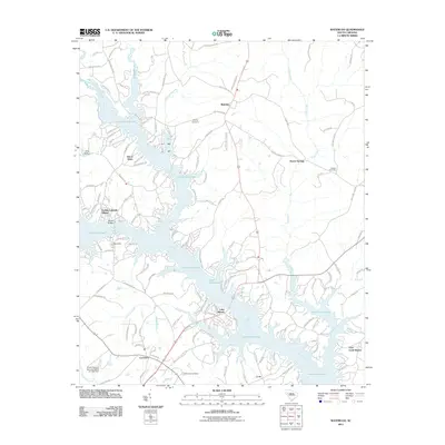
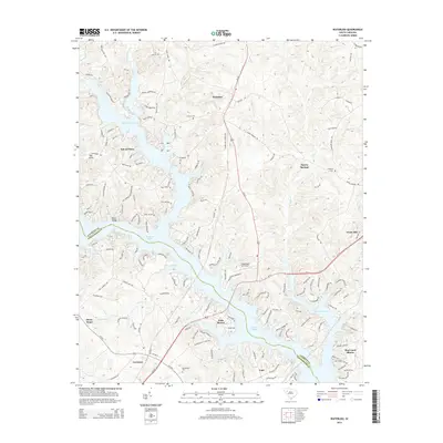
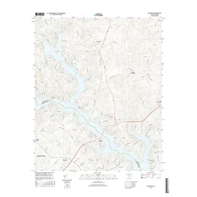
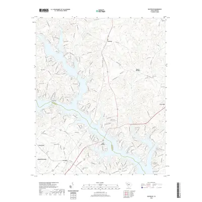
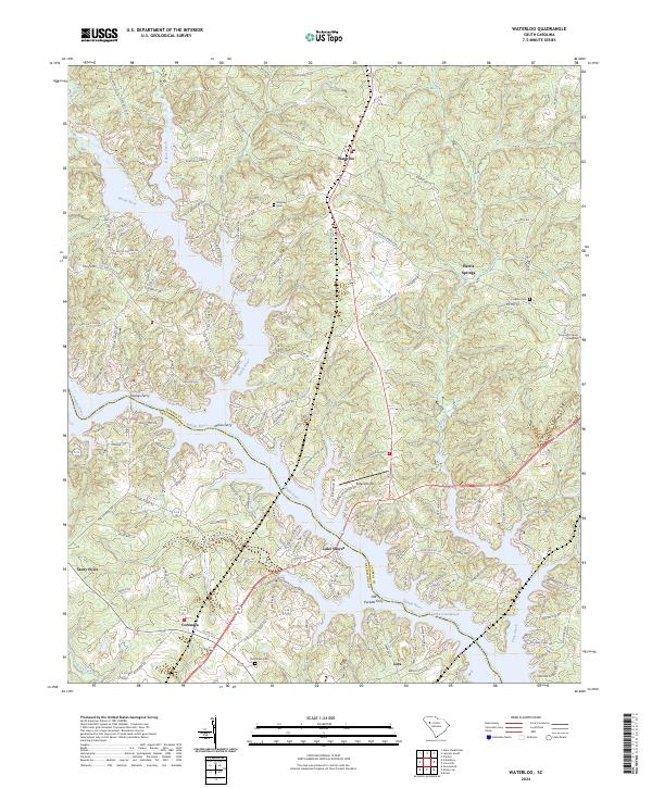 2024 Waterloo2024 Print · USGSThe confluence of the Reedy and Saluda Rivers defines this corner of the South Carolina Piedmont in the modern era. Genealogists and historians can locate family burial grounds at Smyrna Cem and Franklin Cem or trace old river crossings like Youngs Ferry.
 - 2024 Map of Ninety Six, 2024 Print
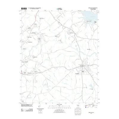
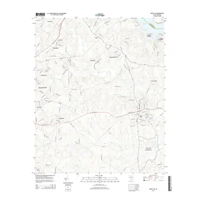
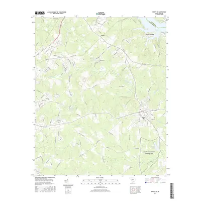
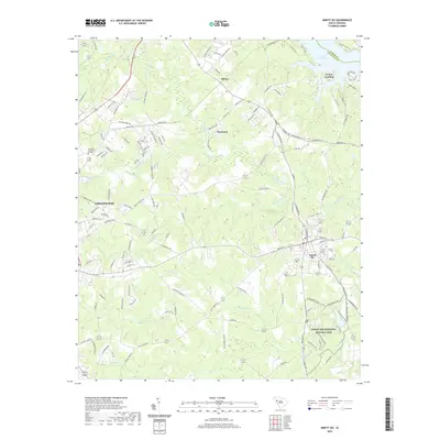
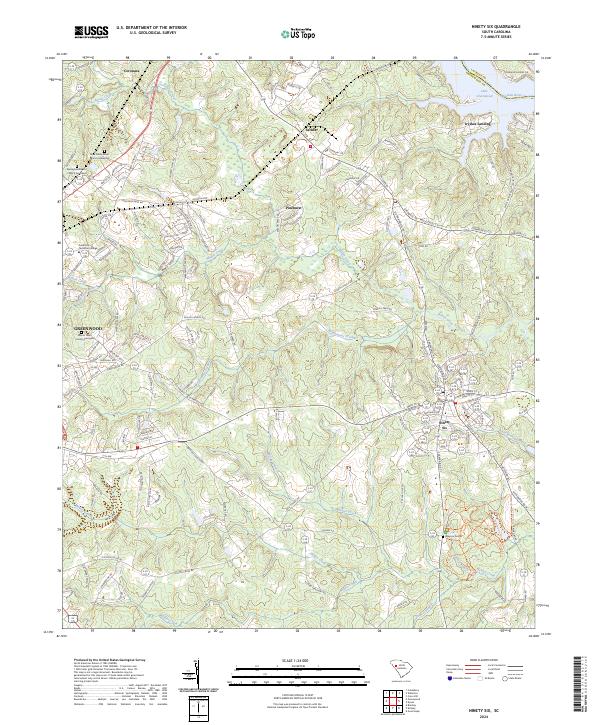 2024 Ninety Six2024 Print · USGSThe Revolutionary War heritage of Greenwood County is captured here in the early twenty-first century, centered on the Ninety Six National Historic Site. Genealogists and historians can trace several significant burial grounds, including Mayson Graves and the Mount Tabor Church Graveyard.
 - 2024 Map of Cokesbury, 2024 Print
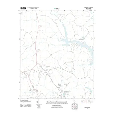
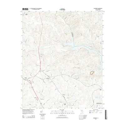
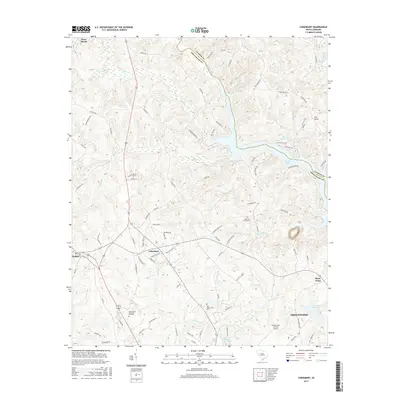
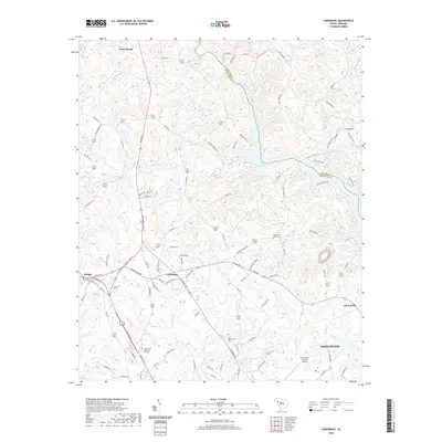
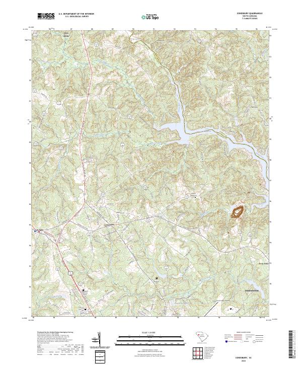 2024 Cokesbury2024 Print · USGSCokesbury and the upper Saluda River valley are detailed here in this contemporary look at the Greenwood County Piedmont. Genealogists can trace family locations near Old Tabernacle Cem, the historic Allen University site, or the community of Hodges.
End of results
Showing maps 1-20 of 20
Top cities near Greenwood
- Abbeville historical maps
- Honea Path historical maps
- Ninety Six historical maps
- Due West historical maps
- Cross Hill historical maps
- Donalds historical maps
See more
Top neighborhoods of Greenwood
- Smithfield historical maps
- South Greenwood historical maps
- Stalnaker Heights historical maps
- Wisewood historical maps
- Blakedale historical maps
- Glendale historical maps
See more
Frequently asked questions
- What are the different types of historical maps available for Greenwood?
- What is the oldest map of Greenwood?
- Where can I purchase historical maps of Greenwood for my home or office?
- Where can I download high-res historical maps of Greenwood?
- Are there historical topographic maps available for Greenwood?
- Is there historical aerial imagery available for Greenwood?
- Where are historical maps of Greenwood sourced from?