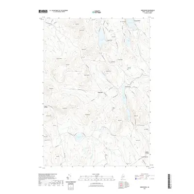
2021 Map of Greenwood
USGS Topo · Published 2021About this map
Bryant Pond and the surrounding highlands of Oxford County define this landscape, where early settlements and family cemeteries are scattered across a complex network of ridges and water bodies. The terrain is marked by prominent elevations such as Mt Abram, Tibbetts Mtn, and Peabody Mtn, with the Little Androscoggin River carving through the eastern valley. The distribution of small burial grounds like Merrill Hill Cem and Greenwood Center Cem near Greenwood and North Norway provides a clear view of the area's ancestral footprint.
Find a feature on this map
102 named features on this map. Tap any name to fly to it.
Don’t see what you’re looking for? This feature index may not catch every label — zoom into the map to look around manually.
Map Details
Editions of this 2021 Greenwood Map
This is the sole edition of this map. No revisions or reprints were ever made.
Other maps of this area

1896 · Norway
USGS Topo · 1:62,500

1909 · Fryeburg
USGS Topo · 1:62,500

1911 · Fryeburg
USGS Topo · 1:62,500

1911 · Bryant Pond
USGS Topo · 1:62,500

1914 · Bethel
USGS Topo · 1:62,500

1914 · Bryant Pond
USGS Topo · 1:62,500

1940 · Bethel
USGS Topo · 1:62,500

1941 · Bethel
USGS Topo · 1:62,500

1941 · Fryeburg
USGS Topo · 1:62,500

1942 · Bryant Pond
USGS Topo · 1:62,500