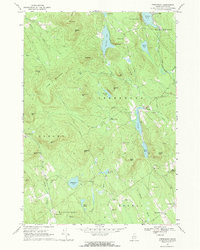
1967 Map of Greenwood
USGS Topo · Published 1969About this map
Bryant Pond serves as a northern anchor in this 1967 field-checked survey of Oxford County, where the Grand Trunk railroad corridor snakes through the valley of the Little Grand Trunk Androscoggin River. The settlement of Greenwood sits near the shores of Hicks Pond, surrounded by a landscape defined by small-scale industry and family-named landmarks. Features like Willis Mill and several scattered quarries indicate the area's resource-based economy, while the presence of the Ice Cave on Uncle Tom Mtn highlights distinctive natural landmarks that shaped local geography.
Find a feature on this map
64 named features on this map. Tap any name to fly to it.
Don’t see what you’re looking for? This feature index may not catch every label — zoom into the map to look around manually.
Map Details
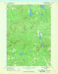
Editions of this 1967 Greenwood Map
2 editions found
Other maps of this area

1896 · Norway
USGS Topo · 1:62,500

1909 · Fryeburg
USGS Topo · 1:62,500

1911 · Fryeburg
USGS Topo · 1:62,500

1911 · Bryant Pond
USGS Topo · 1:62,500

1914 · Bethel
USGS Topo · 1:62,500

1914 · Bryant Pond
USGS Topo · 1:62,500

1940 · Bethel
USGS Topo · 1:62,500

1941 · Bethel
USGS Topo · 1:62,500

1941 · Fryeburg
USGS Topo · 1:62,500

1942 · Bryant Pond
USGS Topo · 1:62,500