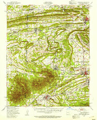
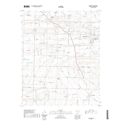
1947 Map of Greenwood
USGS Topo · Published 1954About this map
Backbone Mountain and the prominent ridge of Kully Chaha define the terrain of the Arkansas-Oklahoma borderlands in the late 1940s. The region is characterized by a dense network of coal mining operations, with numerous extraction sites like the Frazier Mine, Arkois Mine, and Woodson Mine dotting the landscape near Midland and Huntington. This industrial activity is supported by a robust rail system, including the Midland Valley and the Chicago Rock Island and Pacific railroads, which weave through the valleys alongside small settlements like Old Jenny Lind and Bonanza.
Find a feature on this map
96 named features on this map. Tap any name to fly to it.
Don’t see what you’re looking for? This feature index may not catch every label — zoom into the map to look around manually.
Map Details
Editions of this 1947 Greenwood Map
This is the sole edition of this map. No revisions or reprints were ever made.
Historical Maps of Greenwood Through Time
9 maps found

1887 Greenwood
Sebastian County, AR
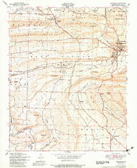
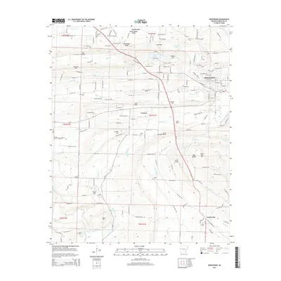
1947 Greenwood
Sebastian County, AR
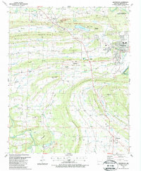
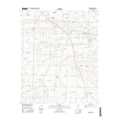
1951 Greenwood
Sebastian County, AR
1987 Greenwood
Sebastian County, AR
2011 Greenwood
Sebastian County, AR
2014 Greenwood
Sebastian County, AR
2017 Greenwood
Sebastian County, AR
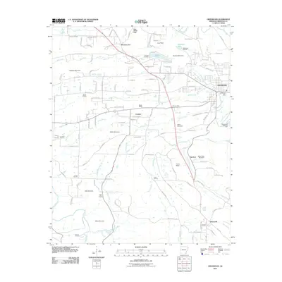
2020 Greenwood
Sebastian County, AR
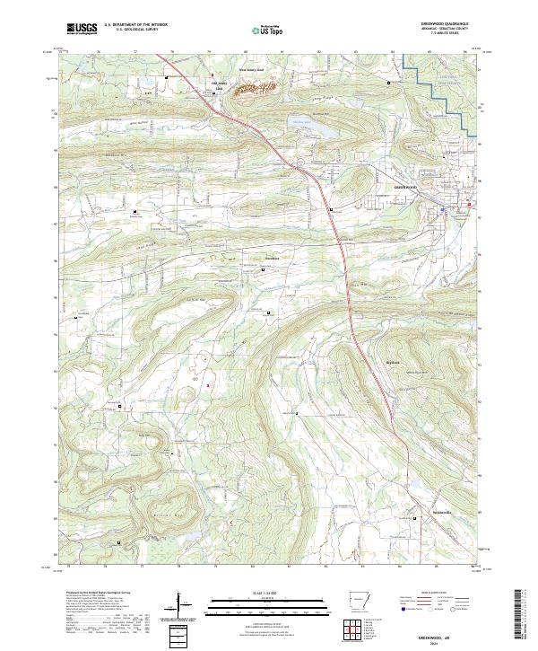
2024 Greenwood
Sebastian County, AR