Loading...
Loading map...2024 Map of Greer
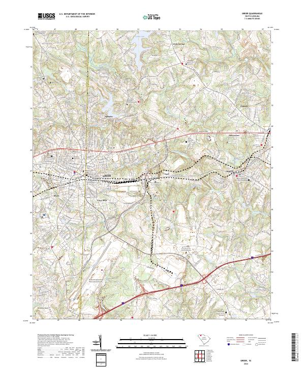
USGS Topo · Published 2024About this map
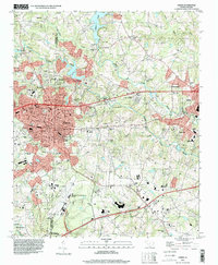
The South Tyger River and North Tyger River converge in this Upstate South Carolina corridor, where the growing city of Greer straddles the boundary between Greenville and Spartanburg counties. The landscape reveals a transition from industrial hubs like Victor Mills and the historic settlement of Apalache to the sprawling infrastructure of the Greenville Spartanburg International Airport.
Find a feature on this map
50 named features on this map. Tap any name to fly to it.
Don’t see what you’re looking for? This feature index may not catch every label — zoom into the map to look around manually.
Map Details
Date Portrayed2024
Date Published2024
PublisherU.S. Geological Survey
Map TypeTopographic
Scale1:24000
Physical Dimensions24 x 29 inches
Editions of this 2024 Greer Map
This is the sole edition of this map. No revisions or reprints were ever made.
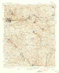
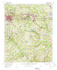
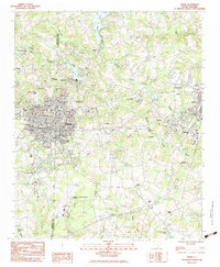
Historical Maps of Tyger Through Time
6 maps found

Featured Locations
Source Details
SourceU.S. Geological Survey
CopyrightPublic Domain