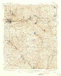
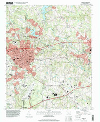
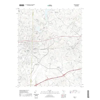
1938 Map of Greer
USGS Topo · Published 1938About this map
Industrial textile hubs and rural farming communities define this Upstate landscape along the Greenville Co Spartanburg Co line during the late 1930s. The town of Greer serves as a major junction for the Southern and Piedmont and Northern railroads, which facilitated the movement of goods and people between Greenville and Spartanburg. To the east, the textile industry is evidenced by the massive Power Plant and the settlements surrounding Jackson Mill, Lyman, and Tucapau, where mill villages and local rail stops like Fairmont Sta supported a growing manufacturing workforce.
Find a feature on this map
115 named features on this map. Tap any name to fly to it.
Don’t see what you’re looking for? This feature index may not catch every label — zoom into the map to look around manually.
Map Details
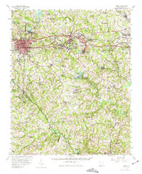
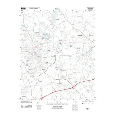
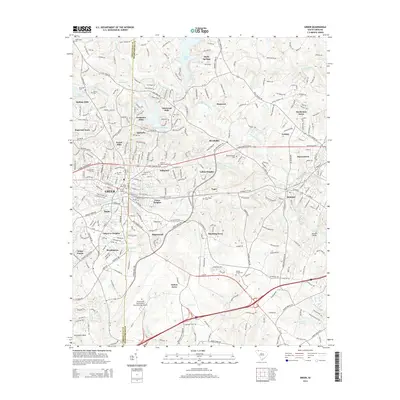
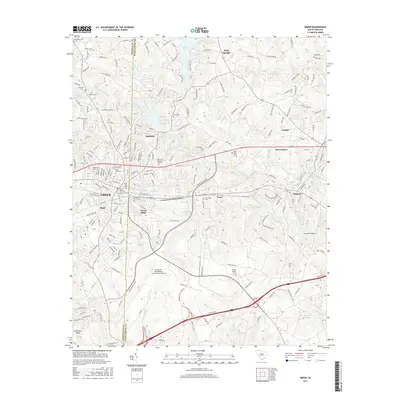
Editions of this 1938 Greer Map
3 editions found

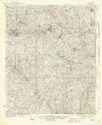
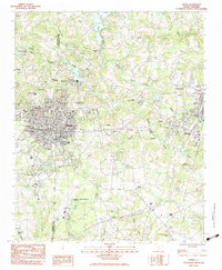
Historical Maps of Greer Through Time
10 maps found

1935 Greer
Greenville County, SC
1938 Greer
Greenville County, SC
1957 Greer
Greenville County, SC
1983 Greer
Greenville County, SC
1994 Greer
Greenville County, SC
2011 Greer
Greenville County, SC
2014 Greer
Greenville County, SC
2017 Greer
Greenville County, SC
2020 Greer
Greenville County, SC
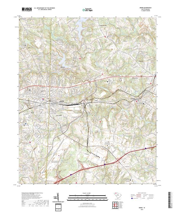
2024 Greer
Greenville County, SC