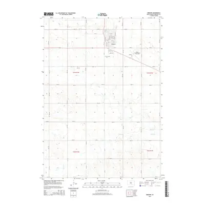
2015 Map of Gregory
USGS Topo · Published 2015About this map
The city of Gregory serves as a central hub on this 2015 survey, characterized by a structured street grid that includes Main St, Church Ave, and Logan Ave. The landscape surrounding the settlement is defined by the gentle drainage of Ponca Cr and Masdon Cr, which wind through the township sections of Gregory County. Transportation and regional access are anchored by Sd-251 and the Gregory Municipal Airport - Flynn Field to the east of the town center. For those researching local heritage, the map clearly identifies two significant burial sites: Saint Joseph Cem south of the city and ZCBJ Cem further west, both providing vital geographic markers for genealogical study in this prairie region.
Find a feature on this map
43 named features on this map. Tap any name to fly to it.
Don’t see what you’re looking for? This feature index may not catch every label — zoom into the map to look around manually.
Map Details
Editions of this 2015 Gregory Map
This is the sole edition of this map. No revisions or reprints were ever made.
Other maps of this area
1955 · Mitchell
USGS Topo · 1:250,000
1959 · Mitchell
USGS Topo · 1:250,000
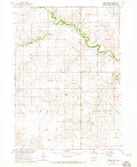
1964 · Gregory SE
USGS Topo · 1:24,000
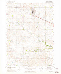
1964 · Gregory
USGS Topo · 1:24,000
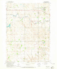
1964 · Dallas
USGS Topo · 1:24,000
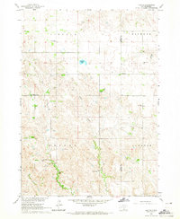
1964 · Paxton
USGS Topo · 1:24,000
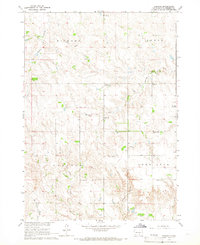
1964 · Carlock
USGS Topo · 1:24,000
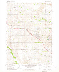
1964 · Burke
USGS Topo · 1:24,000
1971 · Dixon SW
USGS Topo · 1:24,000
1971 · Colome SE
USGS Topo · 1:24,000