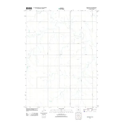
2012 Map of Gregory SE
USGS Topo · Published 2012About this map
Ponca Cr winds through the rural landscape of Gregory County, carving a drainage pattern that defines this portion of the Milk's Camp Segment. The terrain is characterized by a network of intermittent streams and coulees, including Murphy Cr and the descriptively named Blue Eyes Cr, which flow toward the larger creek system. Apart from the small catchment of Star Lake, the area is dominated by an expansive grid of section-line roads, such as Co Hwy-27 and Co Hwy-40, which reflect the organized agricultural land division typical of the Great Plains.
Find a feature on this map
11 named features on this map. Tap any name to fly to it.
Don’t see what you’re looking for? This feature index may not catch every label — zoom into the map to look around manually.
Map Details
Editions of this 2012 Gregory SE Map
This is the sole edition of this map. No revisions or reprints were ever made.
Other maps of this area
1955 · Mitchell
USGS Topo · 1:250,000
1955 · O'Neill
USGS Topo · 1:250,000
1959 · O'Neill
USGS Topo · 1:250,000
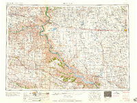
1959 · Mitchell
USGS Topo · 1:250,000
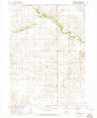
1964 · Gregory SE
USGS Topo · 1:24,000
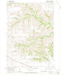
1964 · Herrick NW
USGS Topo · 1:24,000
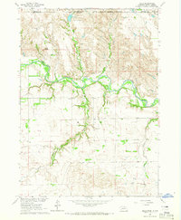
1964 · Mills
USGS Topo · 1:24,000
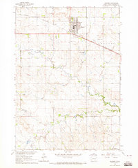
1964 · Gregory
USGS Topo · 1:24,000
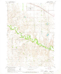
1964 · Herrick
USGS Topo · 1:24,000
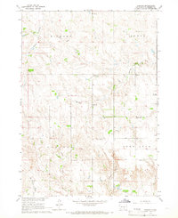
1964 · Carlock
USGS Topo · 1:24,000