
1964 Map of Gregory SE
USGS Topo · Published 1965About this map
Ponca Creek meanders across this rural South Dakota landscape, defining the topography of the Union and Jones townships during the mid-1960s. The area is characterized by a high concentration of rural school districts, reflecting a distributed farming community through named locations such as Lutz Sch, Neuharth Sch, and Allum Sch. These landmarks, along with McCumber Sch and Klug Sch, provide specific geographical touchpoints for genealogical research in Spring Valley and Lone Star.
Find a feature on this map
15 named features on this map. Tap any name to fly to it.
Don’t see what you’re looking for? This feature index may not catch every label — zoom into the map to look around manually.
Map Details
Editions of this 1964 Gregory SE Map
This is the sole edition of this map. No revisions or reprints were ever made.
Other maps of this area

1955 · Mitchell
USGS Topo · 1:250,000

1955 · O'Neill
USGS Topo · 1:250,000

1959 · O'Neill
USGS Topo · 1:250,000

1959 · Mitchell
USGS Topo · 1:250,000

1964 · Herrick NW
USGS Topo · 1:24,000

1964 · Mills
USGS Topo · 1:24,000

1964 · Gregory
USGS Topo · 1:24,000
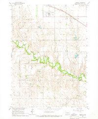
1964 · Herrick
USGS Topo · 1:24,000
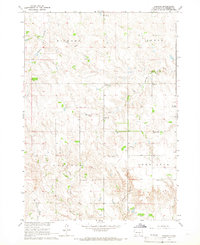
1964 · Carlock
USGS Topo · 1:24,000
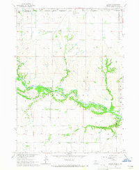
1964 · Jamison
USGS Topo · 1:24,000