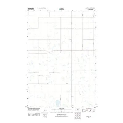
2012 Map of Gretna
USGS Topo · Published 2012About this map
Gretna and the surrounding agricultural lands of Edmunds County are defined by a rhythmic grid of sectional roads and glacial prairie potholes. This 2012 survey shows a landscape dominated by small, scattered water bodies and wetlands that punctuate the high plains. The small settlement of Gretna sits at the junction of 134th St and several county avenues, serving as a quiet focal point in this sparsely populated region. To the south, the Cloyd Valley Cem remains a significant landmark for local genealogy, located along 331st Ave. The map illustrates the persistent structure of the public land survey system, where roads like 131st St and 334th Ave form the primary infrastructure for the area's farming and ranching operations.
Find a feature on this map
16 named features on this map. Tap any name to fly to it.
Don’t see what you’re looking for? This feature index may not catch every label — zoom into the map to look around manually.
Map Details
Editions of this 2012 Gretna Map
This is the sole edition of this map. No revisions or reprints were ever made.
Other maps of this area

1954 · Aberdeen
USGS Topo · 1:250,000

1956 · Aberdeen
USGS Topo · 1:250,000

1974 · Gretna
USGS Topo · 1:24,000

1974 · Bowdle SE
USGS Topo · 1:24,000

1974 · Roscoe SW
USGS Topo · 1:24,000

1974 · Bowdle
USGS Topo · 1:24,000

1978 · Hillsview SE
USGS Topo · 1:24,000

1978 · Roscoe NW
USGS Topo · 1:24,000

1978 · Bowdle SW
USGS Topo · 1:24,000

1978 · Bowdle-Hosmer Lake
USGS Topo · 1:24,000