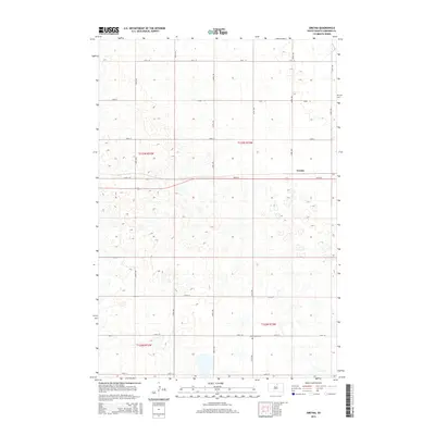
2015 Map of Gretna
USGS Topo · Published 2015About this map
The settlement of Gretna serves as the focal point for this section of Edmunds County, situated in a landscape characterized by a dense network of prairie potholes and wetlands. The survey reveals a rigorous sectional grid defined by roads such as 333rd Ave and 134th St, illustrating the enduring influence of the Public Land Survey System on South Dakota's agricultural development. This specific geography, dominated by numerous unnamed water bodies, suggests a territory where land use is dictated by the seasonally varying water levels of the surrounding basins. To the south, the Cloyd Valley Cem stands as a significant landmark for genealogical research, marking the location of an established community cemetery near the intersection of 331st Ave and 138th St.
Find a feature on this map
20 named features on this map. Tap any name to fly to it.
Don’t see what you’re looking for? This feature index may not catch every label — zoom into the map to look around manually.
Map Details
Editions of this 2015 Gretna Map
This is the sole edition of this map. No revisions or reprints were ever made.
Other maps of this area

1954 · Aberdeen
USGS Topo · 1:250,000

1956 · Aberdeen
USGS Topo · 1:250,000

1974 · Gretna
USGS Topo · 1:24,000

1974 · Bowdle SE
USGS Topo · 1:24,000

1974 · Roscoe SW
USGS Topo · 1:24,000

1974 · Bowdle
USGS Topo · 1:24,000

1978 · Hillsview SE
USGS Topo · 1:24,000

1978 · Roscoe NW
USGS Topo · 1:24,000

1978 · Bowdle SW
USGS Topo · 1:24,000

1978 · Bowdle-Hosmer Lake
USGS Topo · 1:24,000