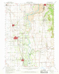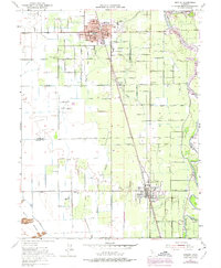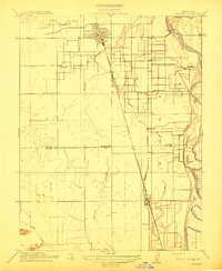
1912 Map of Gridley
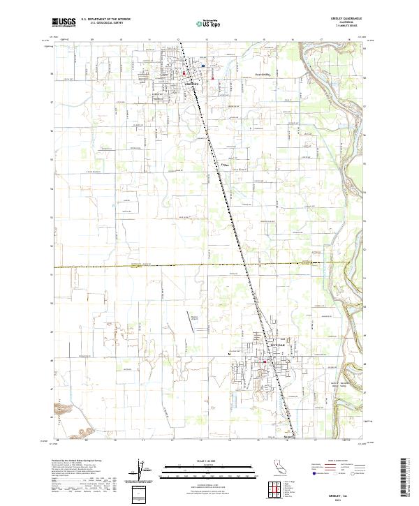
USGS Topo · Published 1912About this map
The agricultural development of the Sacramento Valley is captured here in the early twentieth century, centered on the growing community of Gridley. This landscape is defined by the organized expansion of the Gridley Colony No 1 and Gridley Colony No 2, reflecting the era's intentional land colonization efforts. These colonies are served by the Southern Pacific R R and the Northern Electric Marysville Line, which facilitated the transport of crops from the surrounding orchards and fields.
Find a feature on this map
24 named features on this map. Tap any name to fly to it.
Don’t see what you’re looking for? This feature index may not catch every label — zoom into the map to look around manually.
Map Details
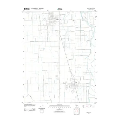
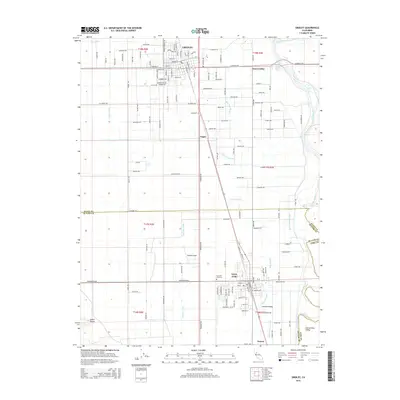
Editions of this 1912 Gridley Map
This is the sole edition of this map. No revisions or reprints were ever made.
Historical Maps of Live Oak Through Time
7 maps found