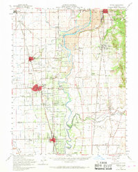
1952 Map of Gridley
USGS Topo · Published 1968About this map
Feather River corridors and intensive irrigation canals define this landscape of the Sacramento Valley, documented here following a mid-century remapping. The map illustrates a region heavily shaped by industrial gold mining and agriculture, most notably in the sprawling Dredge Tailings south of Thermalito and near South Oroville. These massive mounds of gravel and stone are remnants of the dredging era that fundamentally altered the river's path and the surrounding terrain.
Find a feature on this map
64 named features on this map. Tap any name to fly to it.
Don’t see what you’re looking for? This feature index may not catch every label — zoom into the map to look around manually.
Map Details
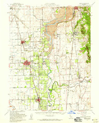
Editions of this 1952 Gridley Map
2 editions found
Other maps of this area

1888 · Marysville
USGS Topo · 1:125,000

1888 · Smartsville
USGS Topo · 1:125,000

1888 · Bidwell Bar
USGS Topo · 1:125,000

1891 · Bidwell Bar
USGS Topo · 1:125,000

1891 · Chico
USGS Topo · 1:125,000

1891 · Marysville
USGS Topo · 1:125,000

1891 · Smartsville
USGS Topo · 1:125,000

1892 · Smartsville
USGS Topo · 1:125,000

1893 · Chico
USGS Topo · 1:125,000

1893 · Bidwell Bar
USGS Topo · 1:125,000