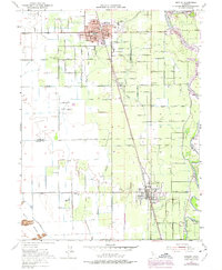
1952 Map of Gridley
USGS Topo · Published 1975About this map
Agricultural development and water management define this landscape between Gridley and Live Oak during the mid-20th century. The complex network of irrigation ditches, including the Sutter Butte Canal and various unnamed laterals, supports the orchards and fields flanking the Feather River. Educational hubs are prominent throughout the rural sections, with locations such as the West Liberty School, Manzanita Sch, and Hedger Sch serving local farm families. The Southern Pacific railroad corridor acts as the primary spine for transportation and settlement growth, connecting the urban centers to the surrounding countryside.
Find a feature on this map
67 named features on this map. Tap any name to fly to it.
Don’t see what you’re looking for? This feature index may not catch every label — zoom into the map to look around manually.
Map Details
Editions of this 1952 Gridley Map
4 editions found
Other maps of this area

1888 · Marysville
USGS Topo · 1:125,000

1891 · Marysville
USGS Topo · 1:125,000

1894 · Marysville
USGS Topo · 1:125,000

1895 · Marysville
USGS Topo · 1:125,000

1911 · Sutter
USGS Topo · 1:31,680
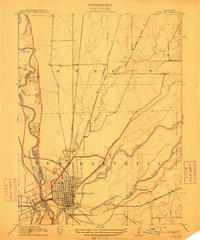
1911 · Yuba City
USGS Topo · 1:31,680

1911 · Landlow
USGS Topo · 1:31,680

1912 · Marysville Buttes
USGS Topo · 1:31,680

1912 · Pennington
USGS Topo · 1:31,680
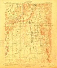
1912 · Palermo
USGS Topo · 1:31,680