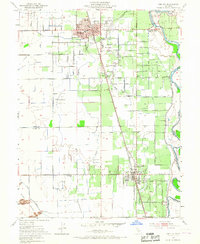
1952 Map of Gridley
USGS Topo · Published 1967About this map
Agricultural development and industrial transport define this mid-century survey of the Sacramento Valley. The city of Gridley stands as a primary hub, featuring the McKinley School, the Woodrow Wilson School, and the Biggs Gridley Memorial Hospital. Southward, the town of Live Oak is anchored by the Live Oak Cemetery and several schools, including Luther Sch. The landscape is etched with irrigation canals and drainage laterals like the Main Chandon Lateral, essential for the region's orchards and fields.
Find a feature on this map
53 named features on this map. Tap any name to fly to it.
Don’t see what you’re looking for? This feature index may not catch every label — zoom into the map to look around manually.
Map Details
Editions of this 1952 Gridley Map
4 editions found
Other maps of this area

1888 · Marysville
USGS Topo · 1:125,000

1891 · Marysville
USGS Topo · 1:125,000

1894 · Marysville
USGS Topo · 1:125,000

1895 · Marysville
USGS Topo · 1:125,000

1911 · Sutter
USGS Topo · 1:31,680
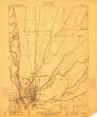
1911 · Yuba City
USGS Topo · 1:31,680

1911 · Landlow
USGS Topo · 1:31,680

1912 · Marysville Buttes
USGS Topo · 1:31,680

1912 · Pennington
USGS Topo · 1:31,680
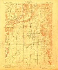
1912 · Palermo
USGS Topo · 1:31,680