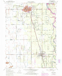
1952 Map of Gridley
USGS Topo · Published 1974About this map
Gridley and Live Oak anchor this fertile section of the Sacramento Valley, dominated by the orchard-lined corridors between the Feather River and the northern tip of the Sutter Buttes. The landscape is defined by a dense grid of rural roads and irrigation channels like the Main Chandon Lateral and Morrison Slough, which supported the region's agricultural transition during the mid-20th century. Local civic life is well-documented through a concentration of educational and social landmarks, including the Woodrow Wilson School, Union High Sch, and the County Fairground just north of the Gridley city limits. The Southern Pacific rail line runs parallel to the highway, connecting these small towns to the broader industrial economy of Northern California. Genealogists and researchers will find value in the placement of the Live Oak Cemetery and several rural schoolhouses such as West Liberty School and Hedger Sch, which mark long-established family districts within the Butte and Sutter County borderlands.
Find a feature on this map
61 named features on this map. Tap any name to fly to it.
Don’t see what you’re looking for? This feature index may not catch every label — zoom into the map to look around manually.
Map Details
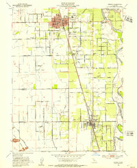
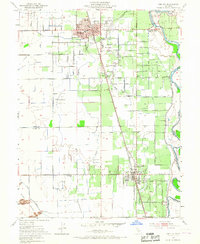
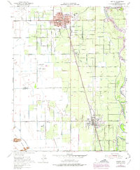
Editions of this 1952 Gridley Map
4 editions found
Other maps of this area

1888 · Marysville
USGS Topo · 1:125,000

1891 · Marysville
USGS Topo · 1:125,000

1894 · Marysville
USGS Topo · 1:125,000

1895 · Marysville
USGS Topo · 1:125,000

1911 · Sutter
USGS Topo · 1:31,680
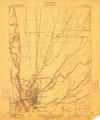
1911 · Yuba City
USGS Topo · 1:31,680

1911 · Landlow
USGS Topo · 1:31,680

1912 · Marysville Buttes
USGS Topo · 1:31,680

1912 · Pennington
USGS Topo · 1:31,680
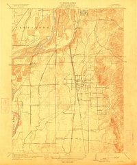
1912 · Palermo
USGS Topo · 1:31,680