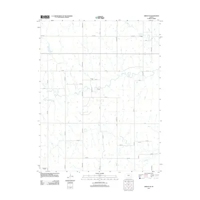
2012 Map of Gridley SE
USGS Topo · Published 2012About this map
The Winterscheid Oil Field occupies the southwestern corner of this rural Kansas landscape, indicating the persistent role of energy extraction in the local economy. The terrain is defined by the winding paths of S Big Creek, N Big Creek, and Varvel Creek, which drain a countryside organized by a strict section-line road grid. Names like Hereford Rd, Grouse Rd, and Longhorn Rd reflect the agricultural character of the region.
Find a feature on this map
39 named features on this map. Tap any name to fly to it.
Don’t see what you’re looking for? This feature index may not catch every label — zoom into the map to look around manually.
Map Details
Editions of this 2012 Gridley SE Map
This is the sole edition of this map. No revisions or reprints were ever made.
Other maps of this area

1885 · Burlington
USGS Topo · 1:125,000

1886 · Fredonia
USGS Topo · 1:125,000

1894 · Fredonia
USGS Topo · 1:125,000

1894 · Burlington
USGS Topo · 1:125,000

1947 · Lawrence
USGS Topo · 1:250,000

1947 · Joplin
USGS Topo · 1:250,000

1949 · Joplin
USGS Topo · 1:250,000

1950 · Lawrence
USGS Topo · 1:250,000

1954 · Joplin
USGS Topo · 1:250,000

1956 · Lawrence
USGS Topo · 1:250,000