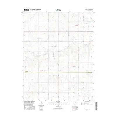
2015 Map of Gridley SE
USGS Topo · Published 2015About this map
Gridley sits at the western edge of this agricultural landscape, where the headwaters of several drainages begin their eastward journey toward the Neosho River watershed. The area is defined by the winding course of South Big Creek and its tributaries, including Varvel Cr and Dinner Cr, which create a rolling prairie topography distinct from the flatter sections of the Kansas plains. This survey documents the boundary between Coffey Co and Woodson Co, a line traced by 1st Rd SW.
Find a feature on this map
50 named features on this map. Tap any name to fly to it.
Don’t see what you’re looking for? This feature index may not catch every label — zoom into the map to look around manually.
Map Details
Editions of this 2015 Gridley SE Map
This is the sole edition of this map. No revisions or reprints were ever made.
Other maps of this area

1885 · Burlington
USGS Topo · 1:125,000

1886 · Fredonia
USGS Topo · 1:125,000

1894 · Fredonia
USGS Topo · 1:125,000

1894 · Burlington
USGS Topo · 1:125,000

1947 · Lawrence
USGS Topo · 1:250,000

1947 · Joplin
USGS Topo · 1:250,000

1949 · Joplin
USGS Topo · 1:250,000

1950 · Lawrence
USGS Topo · 1:250,000

1954 · Joplin
USGS Topo · 1:250,000

1956 · Lawrence
USGS Topo · 1:250,000