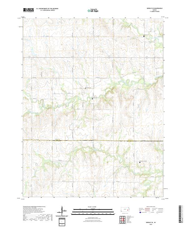
2022 Map of Gridley SE
USGS Topo · Published 2022About this map
The border of Coffey and Woodson counties defines the southern portion of this landscape, where the prairie is dissected by numerous winding waterways. The drainage system is dominated by South Big Creek and its many tributaries, such as Varvel Creek and South Big Creek, which create a complex network of riparian corridors across the agricultural fields. Smaller streams like Duck Creek and Turkey Creek further shape the topography in the south.
Find a feature on this map
29 named features on this map. Tap any name to fly to it.
Don’t see what you’re looking for? This feature index may not catch every label — zoom into the map to look around manually.
Map Details
Editions of this 2022 Gridley SE Map
This is the sole edition of this map. No revisions or reprints were ever made.
Other maps of this area

1885 · Burlington
USGS Topo · 1:125,000

1886 · Fredonia
USGS Topo · 1:125,000

1894 · Fredonia
USGS Topo · 1:125,000

1894 · Burlington
USGS Topo · 1:125,000

1947 · Lawrence
USGS Topo · 1:250,000

1947 · Joplin
USGS Topo · 1:250,000

1949 · Joplin
USGS Topo · 1:250,000

1950 · Lawrence
USGS Topo · 1:250,000

1954 · Joplin
USGS Topo · 1:250,000

1956 · Lawrence
USGS Topo · 1:250,000