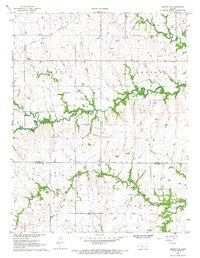
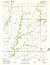
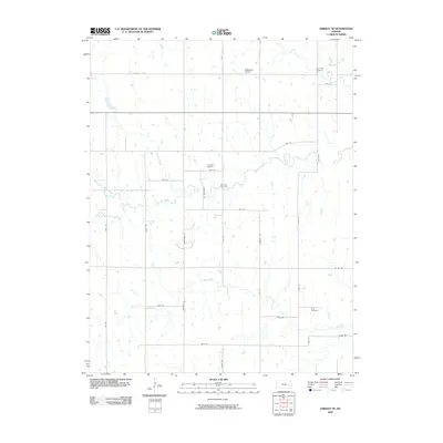
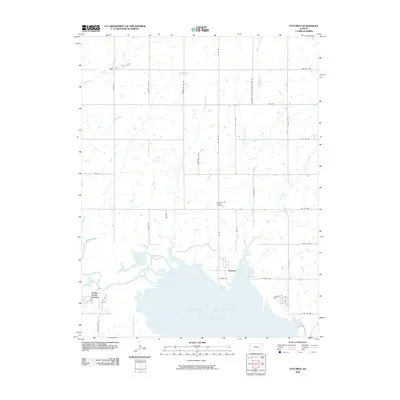
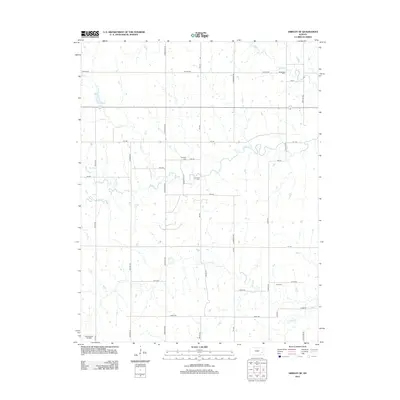
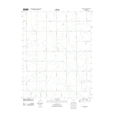
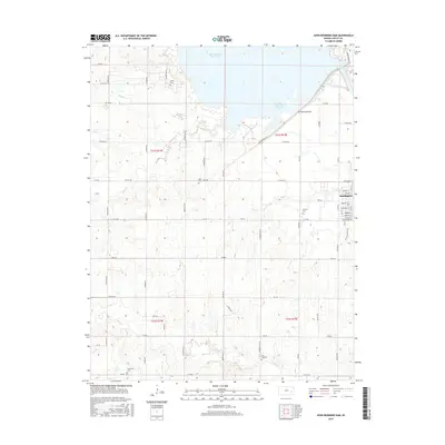
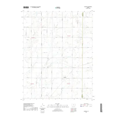
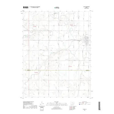
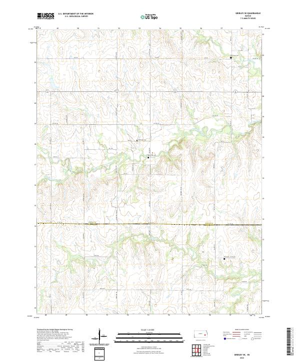
1967 Map of Gridley SE
USGS Topo · Published 1968About this map
The Atchison Topeka and Santa Fe railroad cuts across the northwest corner of this Kansas landscape, reflecting the vital transportation network of the late 1960s. This territory, spanning the border of Coffey and Woodson counties, is defined by the convergence of North Big Creek, South Big Creek, and Big Creek. The map documents a rural economy transitioning between traditional agriculture and early industrial activity, noted by the presence of numerous oil wells near the southern border and several gravel pits scattered near the rail line.
Find a feature on this map
22 named features on this map. Tap any name to fly to it.
Don’t see what you’re looking for? This feature index may not catch every label — zoom into the map to look around manually.
Map Details
Editions of this 1967 Gridley SE Map
This is the sole edition of this map. No revisions or reprints were ever made.
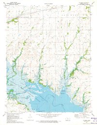
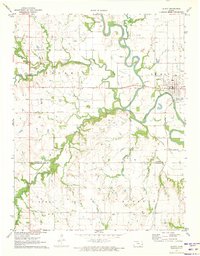
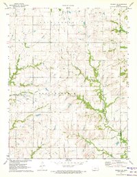
Historical Maps of Gridley Through Time
42 maps found
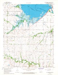
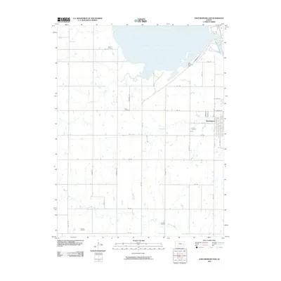
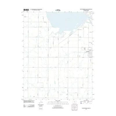
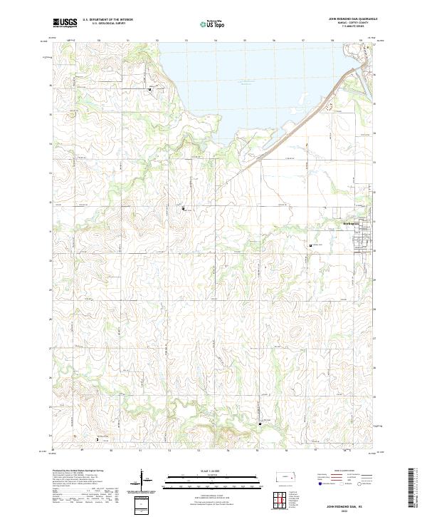
1966 John Redmond Dam
Coffey County, KS
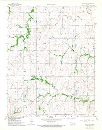
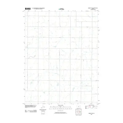
1967 Gridley NW
Coffey County, KS
1967 Gridley SE
Coffey County, KS
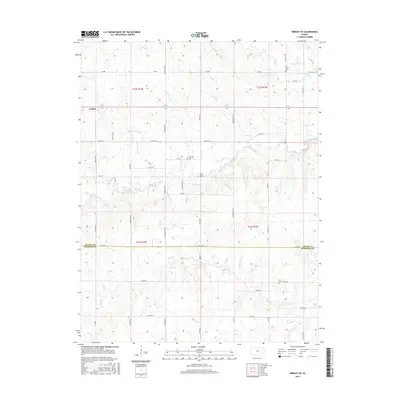
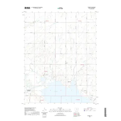
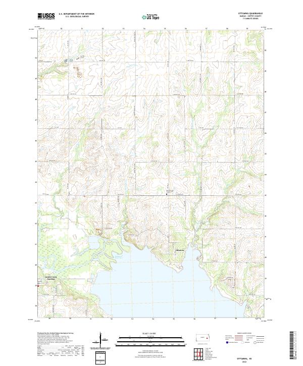
1970 Ottumwa
Coffey County, KS
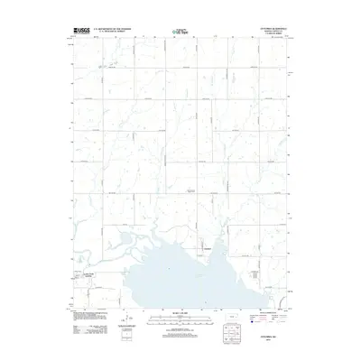
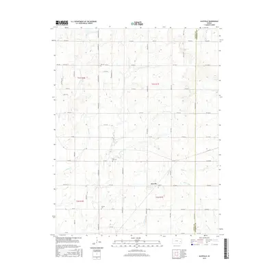
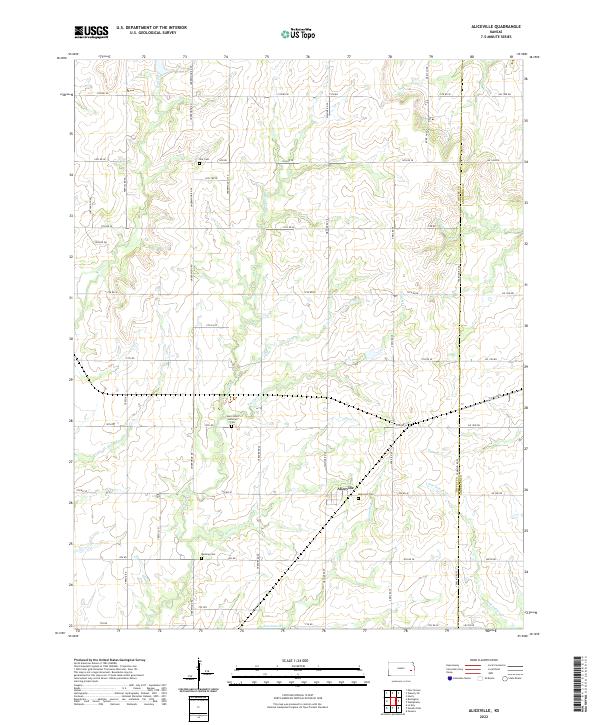
1971 Aliceville
Coffey County, KS
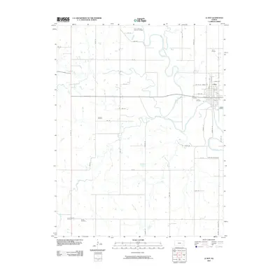
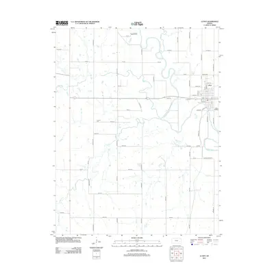
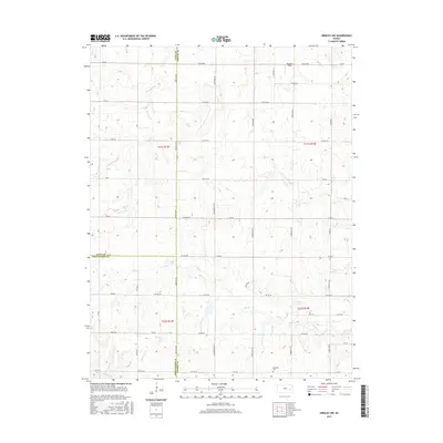
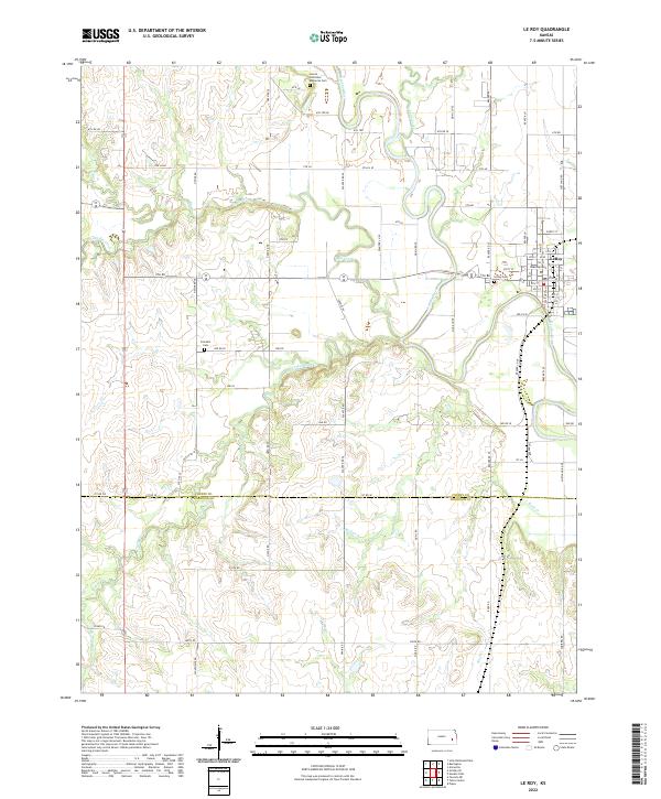
1971 Le Roy
Coffey County, KS
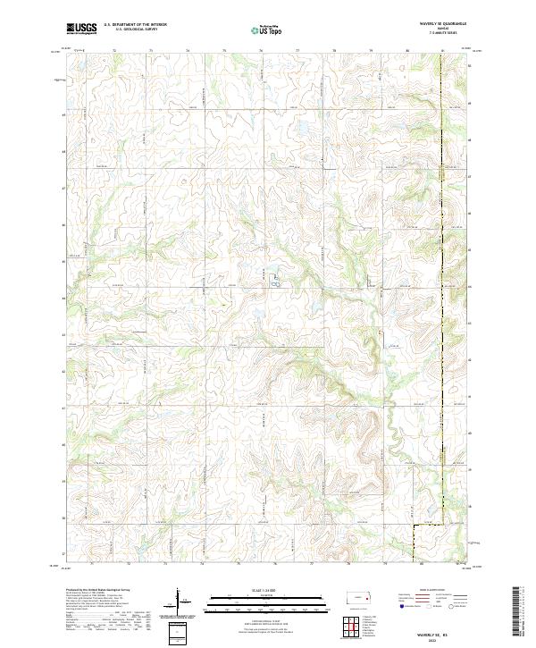
1971 Waverly SE
Coffey County, KS
2009 Aliceville
Coffey County, KS
2009 Gridley NW
Coffey County, KS
2009 Gridley SE
Coffey County, KS
2009 John Redmond Dam
Coffey County, KS
2009 Le Roy
Coffey County, KS
2009 Ottumwa
Coffey County, KS
2009 Waverly SE
Coffey County, KS
2012 Aliceville
Coffey County, KS
2012 Gridley NW
Coffey County, KS
2012 Gridley SE
Coffey County, KS
2012 John Redmond Dam
Coffey County, KS
2012 Le Roy
Coffey County, KS
2012 Ottumwa
Coffey County, KS
2012 Waverly SE
Coffey County, KS
2015 Aliceville
Coffey County, KS
2015 Gridley NW
Coffey County, KS
2015 Gridley SE
Coffey County, KS
2015 John Redmond Dam
Coffey County, KS
2015 Le Roy
Coffey County, KS
2015 Ottumwa
Coffey County, KS
2015 Waverly SE
Coffey County, KS
2018 Aliceville
Coffey County, KS
2018 Gridley NW
Coffey County, KS
2018 Gridley SE
Coffey County, KS
2018 John Redmond Dam
Coffey County, KS
2018 Le Roy
Coffey County, KS
2018 Ottumwa
Coffey County, KS
2018 Waverly SE
Coffey County, KS
2022 Aliceville
Coffey County, KS
2022 Gridley NW
Coffey County, KS
2022 Gridley SE
Coffey County, KS
2022 John Redmond Dam
Coffey County, KS
2022 Le Roy
Coffey County, KS
2022 Ottumwa
Coffey County, KS
2022 Waverly SE
Coffey County, KS