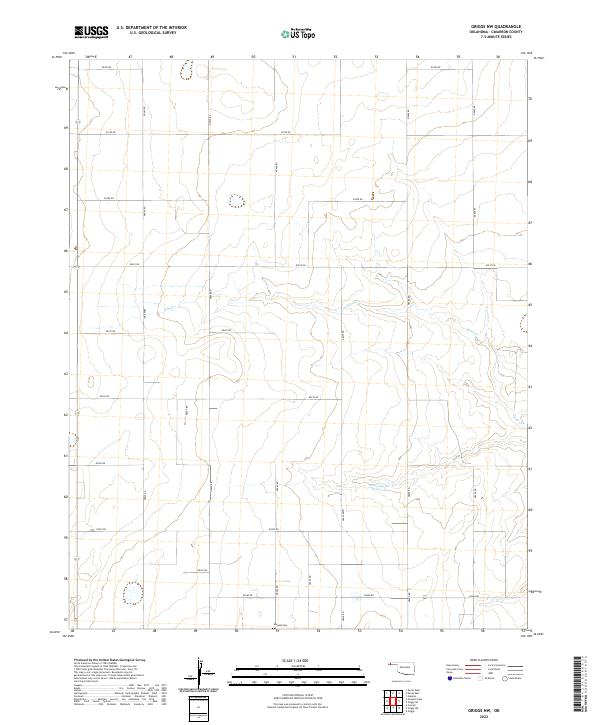
2022 Map of Griggs NW
USGS Topo · Published 2022About this map
Marella Cem sits at the southern edge of this Oklahoma panhandle landscape, serving as a primary point of interest for genealogists and local historians. The terrain is defined by the ephemeral path of Sand Cr and the waters of the Marvin Cryer Reservoir, which anchor the central and southern sections of the grid. This 2022 survey illustrates the enduring Public Land Survey System structure, with a strictly rectilinear network of section roads including e0250 RD and nd470 RD. The layout reveals a high-plains ranching or agricultural character where large, open tracts are bounded by these precisely spaced thoroughfares, reflecting the systematic settlement patterns of Cimarron County.
Find a feature on this map
26 named features on this map. Tap any name to fly to it.
Don’t see what you’re looking for? This feature index may not catch every label — zoom into the map to look around manually.
Map Details
Editions of this 2022 Griggs NW Map
This is the sole edition of this map. No revisions or reprints were ever made.
Other maps of this area

1954 · Dalhart
USGS Topo · 1:250,000

1958 · Dalhart
USGS Topo · 1:250,000

1962 · Dalhart
USGS Topo · 1:250,000

1971 · Griggs SW
USGS Topo · 1:24,000

1971 · Griggs NE
USGS Topo · 1:24,000

1971 · Griggs
USGS Topo · 1:24,000

1971 · Keyes West
USGS Topo · 1:24,000

1971 · Hopkins
USGS Topo · 1:24,000

1971 · Sampsel Lake
USGS Topo · 1:24,000

1971 · Keyes East
USGS Topo · 1:24,000