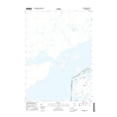
2016 Map of Grindstone Island
USGS Topo · Published 2016About this map
The Saint Lawrence River serves as the defining international boundary in this 2016 survey, separating the rural north shore of Ontario from the island-dotted waters of New York. The map provides a detailed view of the Grindstone Island landscape, where a network of local roads including Cross Island Rd and Middle Rd connect the settlement of Grindstone with the historic Thurso Cem. This area is characterized by its complex archipelago, featuring named landmasses like Potter Island and Chub Island surrounding the Lake of the Isles.
Find a feature on this map
34 named features on this map. Tap any name to fly to it.
Don’t see what you’re looking for? This feature index may not catch every label — zoom into the map to look around manually.
Map Details
Editions of this 2016 Grindstone Island Map
This is the sole edition of this map. No revisions or reprints were ever made.
Other maps of this area
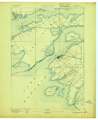
1895 · Cape Vincent
USGS Topo · 1:62,500
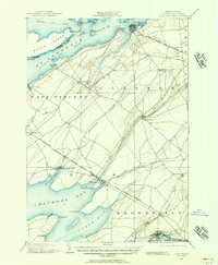
1900 · Clayton
USGS Topo · 1:62,500
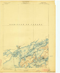
1903 · Grindstone
USGS Topo · 1:62,500
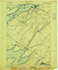
1903 · Clayton
USGS Topo · 1:62,500
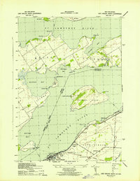
1942 · Cape Vincent North
USGS Topo · 1:31,680
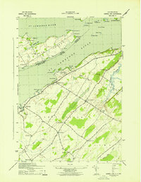
1942 · Sawmill Bay
USGS Topo · 1:31,680
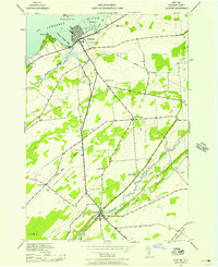
1942 · Clayton
USGS Topo · 1:24,000
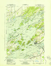
1943 · Thousand Island Park
USGS Topo · 1:31,680
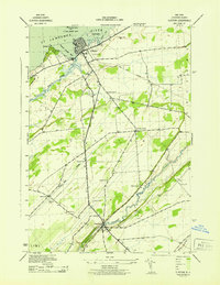
1943 · Clayton
USGS Topo · 1:31,680
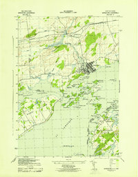
1943 · Grindstone
USGS Topo · 1:31,680