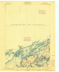
1903 Map of Grindstone
USGS Topo · Published 1909About this map
The St. Lawrence River dominates this nautical landscape at the international border between Ontario and New York. The intricate archipelago of the Thousand Islands is captured during the early 20th-century resort era, highlighted by established Victorian-era summer colonies at Thousand Island Park and Frontenac. The geography is defined by significant landmasses like Grindstone Island and Howe Island, with the Canadian settlement of Gananoque visible on the northern shore.
Find a feature on this map
58 named features on this map. Tap any name to fly to it.
Don’t see what you’re looking for? This feature index may not catch every label — zoom into the map to look around manually.
Map Details
Editions of this 1903 Grindstone Map
4 editions found
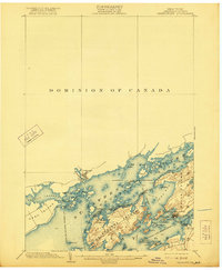
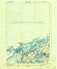
Other maps of this area

1895 · Cape Vincent
USGS Topo · 1:62,500

1900 · Clayton
USGS Topo · 1:62,500

1903 · Grindstone
USGS Topo · 1:62,500

1903 · Clayton
USGS Topo · 1:62,500

1903 · Alexandria Bay
USGS Topo · 1:62,500

1903 · Theresa
USGS Topo · 1:62,500

1942 · Cape Vincent North
USGS Topo · 1:31,680

1942 · Sawmill Bay
USGS Topo · 1:31,680

1942 · Clayton
USGS Topo · 1:24,000

1943 · Thousand Island Park
USGS Topo · 1:31,680