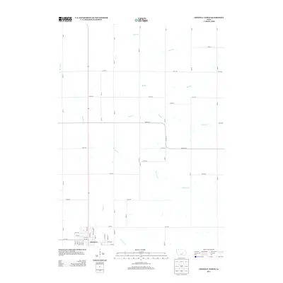
2013 Map of Grinnell North
USGS Topo · Published 2013About this map
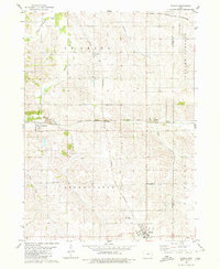
Grinnell anchors the southwestern corner of this survey, marking the transition from the city's residential grid into the agricultural expanses of Poweshiek County. The landscape is defined by the headwaters of several prominent regional waterways, with Big Bear Cr winding through the center while Abes Fork and Elk Run drain the northern sections. This 2013 topographic study highlights the persistent rectangular survey system of Iowa's rural heartland, where a rigid network of numbered roads like 320th Ave and 50th St sections the terrain. Local transit corridors such as Newburg Rd and Co Hwy F17 connect the outlying farmsteads to the urban center of Grinnell, reflecting the enduring intersection of commercial transit and midwestern agriculture.
Find a feature on this map
37 named features on this map. Tap any name to fly to it.
Don’t see what you’re looking for? This feature index may not catch every label — zoom into the map to look around manually.
Map Details
Editions of this 2013 Grinnell North Map
This is the sole edition of this map. No revisions or reprints were ever made.
Other maps of this area

1954 · Des Moines
USGS Topo · 1:250,000

1956 · Des Moines
USGS Topo · 1:250,000

1957 · Des Moines
USGS Topo · 1:250,000

1969 · Des Moines
USGS Topo · 1:250,000

1979 · Grinnell South
USGS Topo · 1:24,000
1979 · Malcom
USGS Topo · 1:24,000

1980 · Newburg
USGS Topo · 1:24,000
1980 · Montour
USGS Topo · 1:24,000
1980 · Tama
USGS Topo · 1:24,000
1980 · Gilman
USGS Topo · 1:24,000