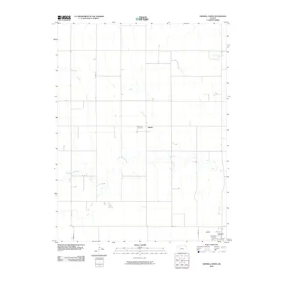
2010 Map of Grinnell North
USGS Topo · Published 2010About this map
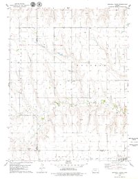
The Saline River system dominates this section of Gove County, where the North Fork and South Fork converge to form the main channel. This high plains landscape is defined by the intersection of the riparian corridors and the rigid section-line road network, including Co Rd 37 and Campas Rd. The small community of Angelus sits near the center of the map, marked by the Saint John Cemetery. To the southeast, the town of Grinnell is positioned along the southern edge of the quadrangle. Local history and genealogy are well-preserved through several established burial grounds, such as the Grinnell Cemetery and Immaculate Conception Cemetery located near the town site. The drainage of Spring Brook Creek in the northeast further illustrates the subtle but critical topography of this prairie region.
Find a feature on this map
16 named features on this map. Tap any name to fly to it.
Don’t see what you’re looking for? This feature index may not catch every label — zoom into the map to look around manually.
Map Details
Editions of this 2010 Grinnell North Map
This is the sole edition of this map. No revisions or reprints were ever made.
Other maps of this area

1954 · Goodland
USGS Topo · 1:250,000

1956 · Goodland
USGS Topo · 1:250,000

1957 · Goodland
USGS Topo · 1:250,000

1979 · Menlo
USGS Topo · 1:24,000
1979 · Oakley South
USGS Topo · 1:24,000
1979 · Grinnell South
USGS Topo · 1:24,000

1979 · Grinnell NE
USGS Topo · 1:24,000
1979 · Sunny Slope Lake
USGS Topo · 1:24,000

1979 · Oakley North
USGS Topo · 1:24,000
1979 · Grinnell North
USGS Topo · 1:24,000