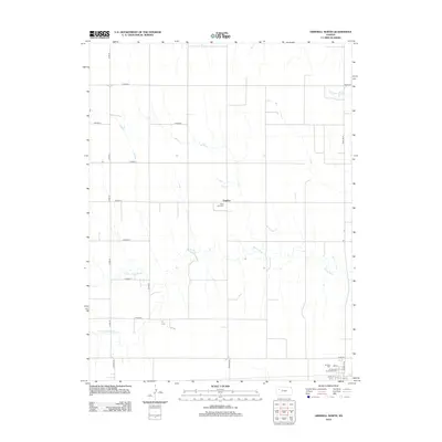
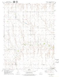
2012 Map of Grinnell North
USGS Topo · Published 2012About this map
Angelus serves as a central anchor for this section of Gove County, where the High Plains terrain is etched by the intricate drainage systems of the Saline River. The landscape is defined by the river’s winding course and its tributaries, including the N Fork Saline River and S Fork Saline River, which create a complex network of seasonal watercourses across the grid of section lines. This 2012 survey illustrates a quiet rural environment where the road network, including Campas RD and Angles RD, still follows the strictly ordered geometry of the Public Land Survey System.
Find a feature on this map
25 named features on this map. Tap any name to fly to it.
Don’t see what you’re looking for? This feature index may not catch every label — zoom into the map to look around manually.
Map Details
Editions of this 2012 Grinnell North Map
This is the sole edition of this map. No revisions or reprints were ever made.
Other maps of this area

1954 · Goodland
USGS Topo · 1:250,000

1956 · Goodland
USGS Topo · 1:250,000

1957 · Goodland
USGS Topo · 1:250,000

1979 · Menlo
USGS Topo · 1:24,000
1979 · Oakley South
USGS Topo · 1:24,000
1979 · Grinnell South
USGS Topo · 1:24,000

1979 · Grinnell NE
USGS Topo · 1:24,000
1979 · Sunny Slope Lake
USGS Topo · 1:24,000

1979 · Oakley North
USGS Topo · 1:24,000
1979 · Grinnell North
USGS Topo · 1:24,000