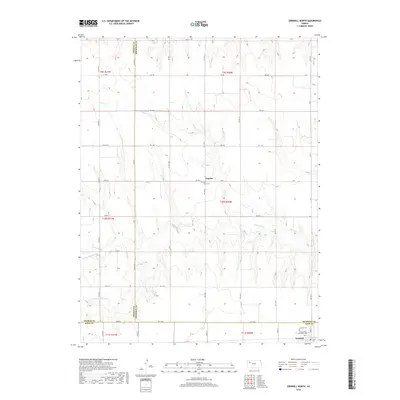
2018 Map of Grinnell North
USGS Topo · Published 2018About this map
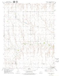
Angelus sits as a central settlement in this Western Kansas landscape, where the high plains meet the headwaters of several river branches. The terrain is defined by the drainage systems of the Saline River, including the N Fork Saline River and S Fork Saline River, which cut through the agricultural sections of Gove, Thomas, and Sheridan counties. Local history is anchored by several rural burial grounds, including Saint John Cem near the town center and the Immaculate Conception Cem and Grinnell Cem located further south near Grinnell. The map reveals a strict township and range grid system overlaid with a network of rural routes like Campas Rd and Gove EE, reflecting the organized agricultural development of the region in the late 20th and early 21st centuries.
Find a feature on this map
35 named features on this map. Tap any name to fly to it.
Don’t see what you’re looking for? This feature index may not catch every label — zoom into the map to look around manually.
Map Details
Editions of this 2018 Grinnell North Map
This is the sole edition of this map. No revisions or reprints were ever made.
Other maps of this area

1954 · Goodland
USGS Topo · 1:250,000

1956 · Goodland
USGS Topo · 1:250,000

1957 · Goodland
USGS Topo · 1:250,000

1979 · Menlo
USGS Topo · 1:24,000
1979 · Oakley South
USGS Topo · 1:24,000
1979 · Grinnell South
USGS Topo · 1:24,000

1979 · Grinnell NE
USGS Topo · 1:24,000
1979 · Sunny Slope Lake
USGS Topo · 1:24,000

1979 · Oakley North
USGS Topo · 1:24,000
1979 · Grinnell North
USGS Topo · 1:24,000