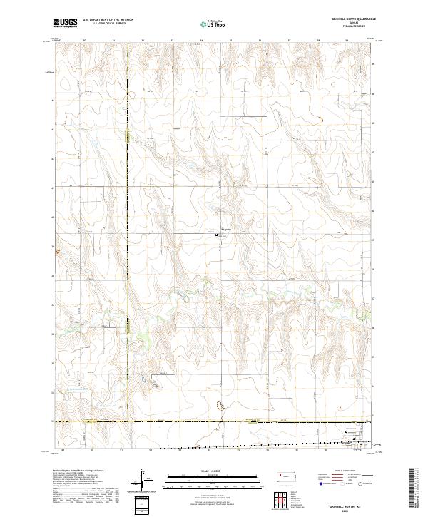
2022 Map of Grinnell North
USGS Topo · Published 2022About this map
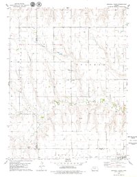
High plains agriculture and deep-set drainage patterns define this landscape in western Kansas, where the Sheridan, Thomas, and Gove county lines converge. The small community of Angelus serves as a central landmark in this prairie expanse, notable for its local religious history at Saint John Cem. To the south, the northern edge of Grinnell appears near the rail-aligned corridor, flanked by the Grinnell Cem and Immaculate Conception Cem. The terrain is etched by the meandering courses of the Saline River, along with its northern and southern forks. This survey provides a clear view of the section-line road network, including Co Rd 36 and Rd 120 S, which organize the rural homesteads and agricultural plots typical of the region's late-twentieth-century development.
Find a feature on this map
38 named features on this map. Tap any name to fly to it.
Don’t see what you’re looking for? This feature index may not catch every label — zoom into the map to look around manually.
Map Details
Editions of this 2022 Grinnell North Map
This is the sole edition of this map. No revisions or reprints were ever made.
Other maps of this area

1954 · Goodland
USGS Topo · 1:250,000

1956 · Goodland
USGS Topo · 1:250,000

1957 · Goodland
USGS Topo · 1:250,000

1979 · Menlo
USGS Topo · 1:24,000
1979 · Oakley South
USGS Topo · 1:24,000
1979 · Grinnell South
USGS Topo · 1:24,000

1979 · Grinnell NE
USGS Topo · 1:24,000
1979 · Sunny Slope Lake
USGS Topo · 1:24,000

1979 · Oakley North
USGS Topo · 1:24,000
1979 · Grinnell North
USGS Topo · 1:24,000