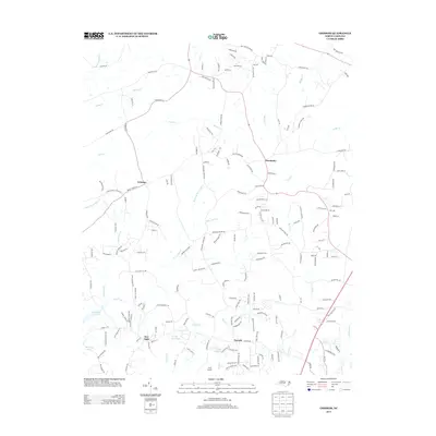
2013 Map of Grissom
USGS Topo · Published 2013About this map
Grissom and Pocomoke anchor this 2013 landscape in northern Wake County, showing a network of rural settlements connected by winding local roads like Pocomoke Rd and Old Franklinton Rd. The terrain is defined by a dense drainage system where New Light Cr, Horse Cr, and Buckhorn Cr carve through the countryside. This era shows a transition toward more established residential enclaves alongside traditional landmarks like the Efland Millpond and Camp Kanata.
Find a feature on this map
172 named features on this map. Tap any name to fly to it.
Don’t see what you’re looking for? This feature index may not catch every label — zoom into the map to look around manually.
Map Details
Editions of this 2013 Grissom Map
This is the sole edition of this map. No revisions or reprints were ever made.
Other maps of this area

1943 · Raleigh
USGS Topo · 1:62,500

1943 · Creedmoor
USGS Topo · 1:62,500

1944 · Creedmoor
USGS Topo · 1:62,500

1951 · Raleigh
USGS Topo · 1:62,500

1953 · Raleigh
USGS Topo · 1:250,000

1953 · Greensboro
USGS Topo · 1:250,000

1954 · Greensboro
USGS Topo · 1:250,000

1954 · Raleigh
USGS Topo · 1:250,000

1962 · Greensboro
USGS Topo · 1:250,000

1966 · Greensboro
USGS Topo · 1:250,000