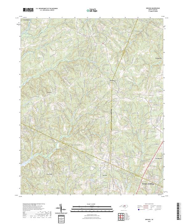
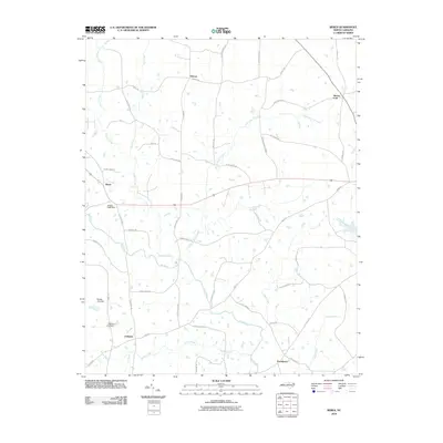
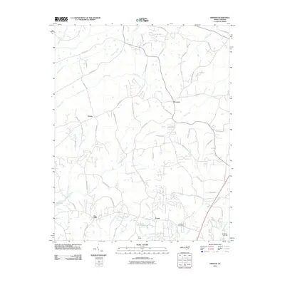
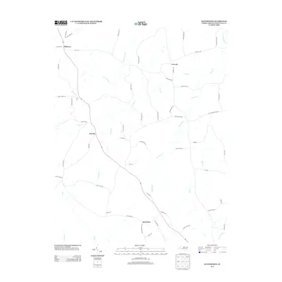
2022 Map of Grissom
USGS Topo · Published 2022About this map
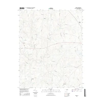
Grissom sits at the heart of this landscape where the boundaries of Granville, Wake, and Franklin counties converge. This modern survey illustrates the suburban transition of the North Carolina Piedmont, showing the expanding reach of Wake Forest and Youngsville into formerly rural tracts. The terrain is defined by a dense network of watercourses, including the headwaters of New Light Creek and Beaverdam Cr, which carve through the undulating topography. Local landmarks like Calvin Ray Pond and the small settlements of Pocomoke, New Light, and Purnell provide anchor points for genealogical research and land-use studies. The map documents the intricate evolution of local infrastructure, from traditional corridors like Old Franklinton Rd to the numerous residential drives that now characterize the area between Creedmoor and Franklinton.
Find a feature on this map
137 named features on this map. Tap any name to fly to it.
Don’t see what you’re looking for? This feature index may not catch every label — zoom into the map to look around manually.
Map Details
Editions of this 2022 Grissom Map
This is the sole edition of this map. No revisions or reprints were ever made.
Historical Maps of Wake Forest Through Time
30 maps found
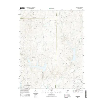
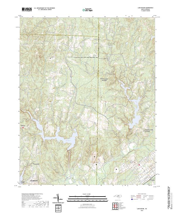
1977 Lake Michie
Granville County, NC
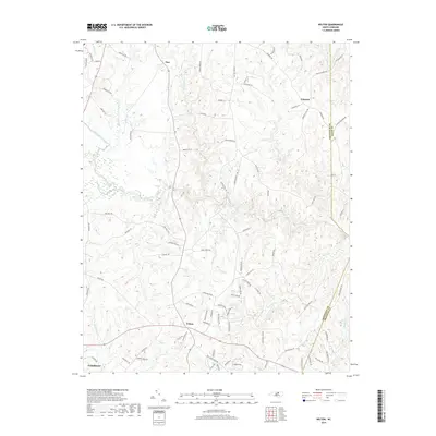
1977 Wilton
Granville County, NC
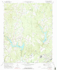
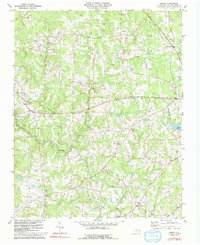
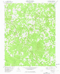
1978 Grissom
Granville County, NC
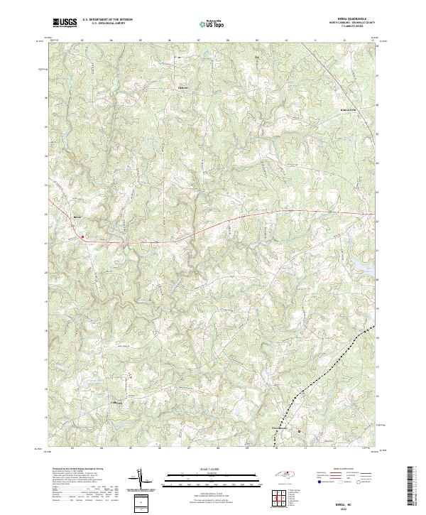
1981 Berea
Granville County, NC
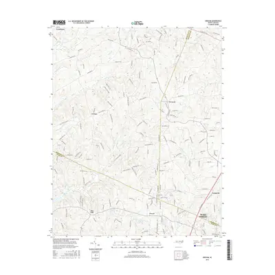
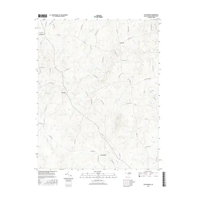
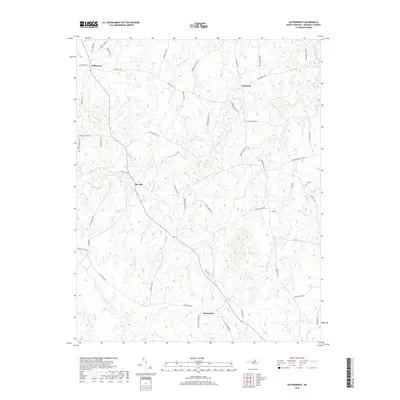
1981 Satterwhite
Granville County, NC
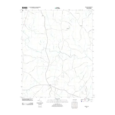
2010 Berea
Granville County, NC
2010 Grissom
Granville County, NC
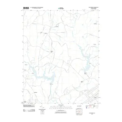
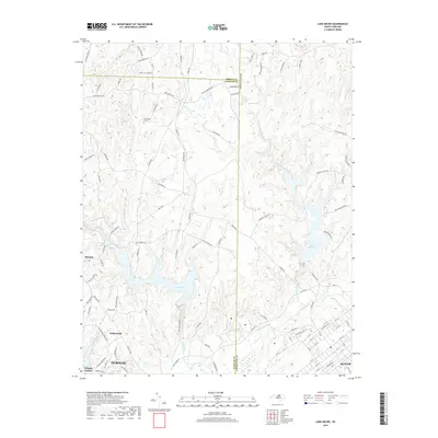
2010 Lake Michie
Granville County, NC
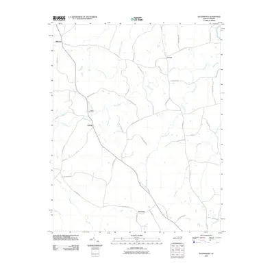
2010 Satterwhite
Granville County, NC
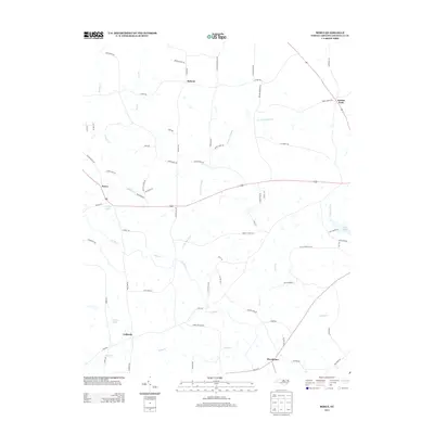
2010 Wilton
Granville County, NC
2013 Berea
Granville County, NC
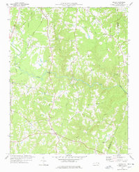
2013 Grissom
Granville County, NC
2013 Lake Michie
Granville County, NC
2013 Satterwhite
Granville County, NC
2013 Wilton
Granville County, NC
2016 Berea
Granville County, NC
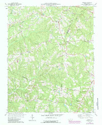
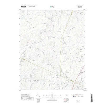
2016 Grissom
Granville County, NC
2016 Lake Michie
Granville County, NC
2016 Satterwhite
Granville County, NC
2016 Wilton
Granville County, NC
2019 Berea
Granville County, NC
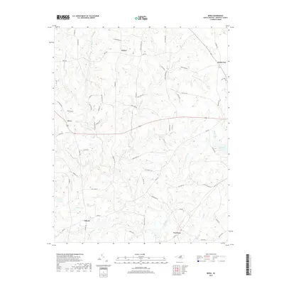
2019 Grissom
Granville County, NC
2019 Lake Michie
Granville County, NC
2019 Satterwhite
Granville County, NC
2019 Wilton
Granville County, NC
2022 Berea
Granville County, NC
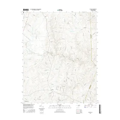
2022 Grissom
Granville County, NC
2022 Lake Michie
Granville County, NC
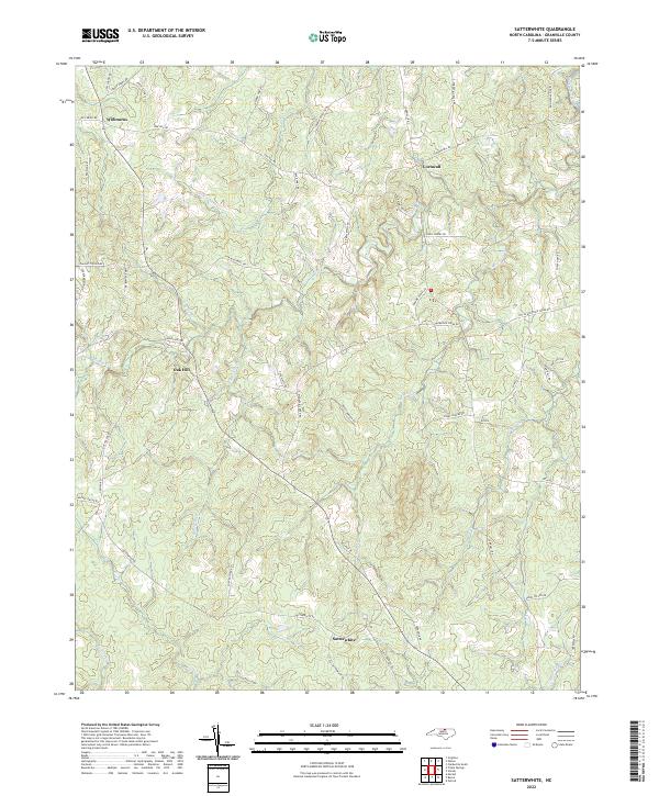
2022 Satterwhite
Granville County, NC
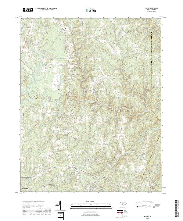
2022 Wilton
Granville County, NC