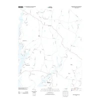
2013 Map of Grist Mountain
USGS Topo · Published 2013About this map
High Rock Lake and its intricate northern inlets dominate this Davidson County landscape, where the eastern banks meet the rising terrain of Grist Mountain and Wildcat Mountain. This 2013 survey illustrates the residential expansion along the shoreline, characterized by developments like High Rock Mountain Shores and Oakwood Acres. Further inland, the map preserves the names of older rural hubs and gathering places, including Cedar Grove and Silver Hill, which sit at the intersection of long-established country routes like Silver Hill Rd.
Find a feature on this map
138 named features on this map. Tap any name to fly to it.
Don’t see what you’re looking for? This feature index may not catch every label — zoom into the map to look around manually.
Map Details
Editions of this 2013 Grist Mountain Map
This is the sole edition of this map. No revisions or reprints were ever made.
Other maps of this area

1949 · High Rock
USGS Topo · 1:24,000

1949 · Denton NW
USGS Topo · 1:24,000

1950 · Lexington East
USGS Topo · 1:24,000

1950 · Lexington West
USGS Topo · 1:24,000

1951 · Lexington East
USGS Topo · 1:24,000

1951 · Lexington West
USGS Topo · 1:24,000

1951 · Fair Grove
USGS Topo · 1:24,000

1953 · Charlotte
USGS Topo · 1:250,000

1954 · Charlotte
USGS Topo · 1:250,000

1957 · Denton
USGS Topo · 1:62,500