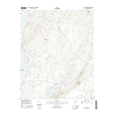
2016 Map of Grist Mountain
USGS Topo · Published 2016About this map
High Rock Lake defines the western edge of this landscape, its irregular shoreline reaching into the countryside near Southmont. To the east, the terrain rises toward the summits of Grist Mountain and Three Hat Mtn, marking a transition from the lakeside settlements to the more elevated interior of Davidson County. Small communities like Cedar Grove and Silver Hill are connected by a network of rural roads, including Bethany Rd and Jerusalem Rd, which trace the historical movement of residents between local farms and family homesteads.
Find a feature on this map
113 named features on this map. Tap any name to fly to it.
Don’t see what you’re looking for? This feature index may not catch every label — zoom into the map to look around manually.
Map Details
Editions of this 2016 Grist Mountain Map
This is the sole edition of this map. No revisions or reprints were ever made.
Other maps of this area

1949 · High Rock
USGS Topo · 1:24,000

1949 · Denton NW
USGS Topo · 1:24,000

1950 · Lexington East
USGS Topo · 1:24,000

1950 · Lexington West
USGS Topo · 1:24,000

1951 · Lexington East
USGS Topo · 1:24,000

1951 · Lexington West
USGS Topo · 1:24,000

1951 · Fair Grove
USGS Topo · 1:24,000

1953 · Charlotte
USGS Topo · 1:250,000

1954 · Charlotte
USGS Topo · 1:250,000

1957 · Denton
USGS Topo · 1:62,500