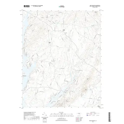
2019 Map of Grist Mountain
USGS Topo · Published 2019About this map
Silver Hill and Cedar Grove anchor this portion of Davidson County, where the topography is defined by the prominent peaks of the Uwharrie Mountains. The landscape is characterized by a series of significant elevations including High Rock Mtn, Grist Mountain, and Wildcat Mtn, which overlook a network of watercourses such as Flat Swamp Creek and Fourmile Branch. Genealogists will find local heritage markers like Workman Cem near Cedar Grove and Owens Cem further south. The southern reaches of the map show the transition to the waters of High Rock Lake, featuring the Brown Loftin Bridge and the community of Southmont. This 2019 survey documents the enduring rural road network, with established routes like Becks Church RD and E Old HWY 64 connecting these dispersed settlements and family lands.
Find a feature on this map
116 named features on this map. Tap any name to fly to it.
Don’t see what you’re looking for? This feature index may not catch every label — zoom into the map to look around manually.
Map Details
Editions of this 2019 Grist Mountain Map
This is the sole edition of this map. No revisions or reprints were ever made.
Other maps of this area

1949 · High Rock
USGS Topo · 1:24,000

1949 · Denton NW
USGS Topo · 1:24,000

1950 · Lexington East
USGS Topo · 1:24,000

1950 · Lexington West
USGS Topo · 1:24,000

1951 · Lexington East
USGS Topo · 1:24,000

1951 · Lexington West
USGS Topo · 1:24,000

1951 · Fair Grove
USGS Topo · 1:24,000

1953 · Charlotte
USGS Topo · 1:250,000

1954 · Charlotte
USGS Topo · 1:250,000

1957 · Denton
USGS Topo · 1:62,500